What is recorded here
Situated on a level landscape. This is a possible late 17th-/ or early 18th-century house of five bays with two storeys and an attic. It may have been buit in 1678 for Charles Odell and is T-shaped in plan with a stairs return projecting at the rear, to the SW, which has a false chimney on its gable. The house has a steeply-pitched gabled roof and end chimney-stacks. It is still occupied. (Craig and Garner 1977, 96)
Craig, M. and Garner, W. (1977) Revised report on areas of historic interest in Co. Waterford. Unpublished report commissioned by An Foras Forbartha.
The above description is derived from the published 'Archaeological Inventory of County Waterford' (Dublin: Stationery Office, 1999). In certain instances the entries have been revised and updated in the light of recent research.
Date of upload/revision: 11th August, 2011. Compiled by: Michael Moore.
The monument record does not grant public access. Check the route and ask the landowner before entering private land.
- What survives
- Recorded monument
Places near here
 Mount Odell Housefarm house · 1 yd
 Man-made underground passage in MountodellMan-made underground passage · 380 yd
 Site of Mullowneys VillageSettlement deserted, medieval · 590 yd
 Bon Sauveur Conventhouse · 1147 yd
 IndicatedBawn · 1484 yd
 Kilgreany CaveCave · 1.9 mi
 Master McGrathMemorial · 2.2 mi
 Castle (in ruins)Castle, unclassified · 2.5 mi
 Grattan SquareVisitor information · 3.7 mi
 Waterford County MuseumMuseum · 3.7 mi
 Dungarvan World War I MemorialMemorial · 3.9 mi
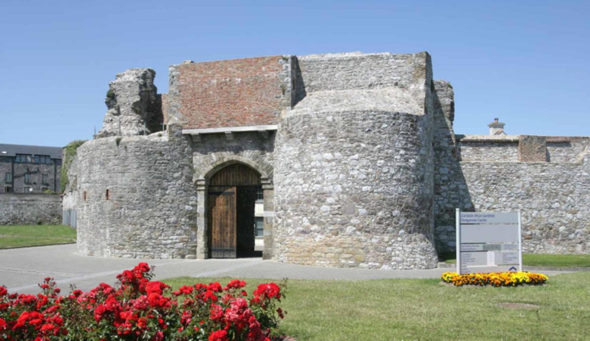
 Dungarvan CastleCastle · 3.9 mi