What is recorded here
Knockmaon Castle stands as a ruined tower house on a rocky hillock above the Cappagh valley, marking the kind of place where water, rock and human ambition still touch. It may have been built for the Fitzgeralds, lost in rebellion, defended by a tenant woman, taken by Confederates and forgotten again. The surviving walls, old bawn and hidden coin hoard suggest a busy castle life rather than a dead one.
Situated on top of a rock outcrop hillock (H c. 20m) which rises out of the low-lying undulating landscape at the S edge of the Cappagh valley. It is close to the source of the NW-SE Brickey River, which curves around the hillock N-W-S.
This is a Fitzgerald castle with references probably from 1440 when Catherine, the sister of the seventh Earl of Desmond, married John FitzThomas of Knockmaon. Knockmaon, and its lands, was forfeited by Thomas Fitzgerald after the Desmond Rebellion when it was granted to Sir Christopher Hatten, whose tenant Mrs Alyson Dalton defended the castle for two years against the Fitzgeralds of Dromana (WA029-021001-) in the late 1590s. The lands passed to Sir Richard Osborne before 1640 and the castle fell to Lord Castlehaven and the Confederates in 1645 (O'C. Redmond 1895, 158-161; O'Connell-Redmond 1918, 96-103).
The remains of the N and W walls survive (ext. dims. 10.1m E-W; 10.1m N-S; H c. 3m) with evidence of vaulting in the N wall (H c. 1.5m). A grass-covered rectangular enclosure (dims. 23.5m E-W; 20m N-S) defined by a low earthen bank (Wth 3m; H 0.3-0.9m) is W of the tower house and may represent a bawn. A Hiberno-Norse coin hoard was found at the site in 1912 (Jennings 1912). The church (WA030-042001-) is c. 100m to S and may have served as the castle chapel.
Jennings, J. R. B. (1912) On some ancient coins found in west Waterford. WAJ 15, 162-7.
O'Connell-Redmond, G. (1918) The castles of north-east Cork and near its borders. JCHAS 24, 1-6, 62-6, 93-103, 145-51.
O'C Redmond, G. (1885-6a) Notes on the history, antiquities, archaeoloical remains and legends connected with the western end of the county Waterford, JRSAI, 17, 394-405..
The above description is derived from the published 'Archaeological Inventory of County Waterford' (Dublin: Stationery Office, 1999). In certain instances the entries have been revised and updated in the light of recent research.
Date of upload/revision: 11th August, 2011. Compiled by: Michael Moore.
The monument record does not grant public access. Check the route and ask the landowner before entering private land.
- What survives
- Recorded monument
Places near here
 IndicatedBawn · 29 yd
 farmyard complexfarmyard complex · 167 yd
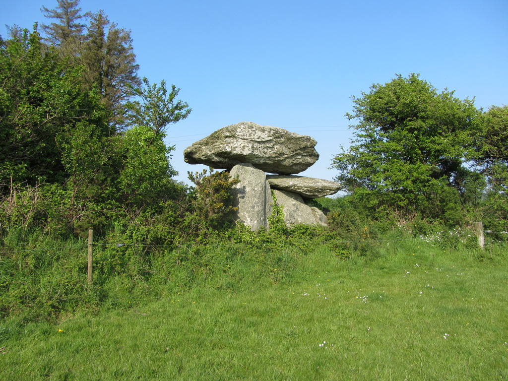 Embanked enclosureFairy fort / ringfort · 1101 yd
 Mount Odell Housefarm house · 1458 yd
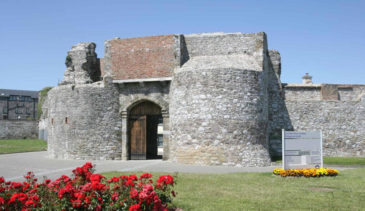 Site of Mullowneys VillageSettlement deserted, medieval · 1667 yd
 Kilgreany CaveCave · 1.0 mi
 site of CastleCastle, unclassified · 2.4 mi
 CarronadavdergMountain / peak · 4.0 mi
 Saint Declan's Holy WellSpring · 4.1 mi
 Grattan SquareVisitor information · 4.4 mi
 Waterford County MuseumMuseum · 4.5 mi
 Dungarvan World War I MemorialMemorial · 4.6 mi