What is recorded here
Marked as a circular embanked enclosure (ext. diam. c. 30-35m) on the 1840 ed. of the OS 6-inch map. Situated in an undulating landscape, it is not visible at ground level in pasture.
From the National Monuments Service (Archaeological Survey of Ireland) record WA030-025
The monument record does not grant public access. Check the route and ask the landowner before entering private land.
- What survives
- Recorded monument
Places near here
Enclosure in Ballynacourty (decies Without Drum By., Whitechurch Par.)Enclosure · 596 yd Swallow's NestHouse · 632 ydIndicatedBawn · 1111 ydfarmyard complex1170 ydMaster McGrathMemorial · 2.1 miGrattan SquareVisitor information · 4.3 miWaterford County MuseumMuseum · 4.4 miDungarvan Castle (in Ruins)Castle, Anglo-Norman masonry castle · 4.5 miDungarvan CastleCastle · 4.5 miSaint Declan's Holy WellSpring · 4.7 miCunnigar PointHeadland · 4.8 miBattle of AffaneMajor battlefield · 5.3 mi
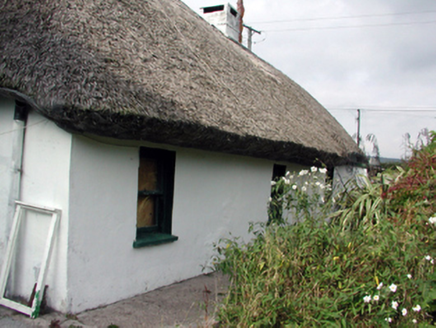 Swallow's NestHouse · 632 ydIndicatedBawn · 1111 yd
 farmyard complex1170 yd
 Master McGrathMemorial · 2.1 mi
 Grattan SquareVisitor information · 4.3 mi
 Waterford County MuseumMuseum · 4.4 mi
 Dungarvan Castle (in Ruins)Castle, Anglo-Norman masonry castle · 4.5 mi
 Dungarvan CastleCastle · 4.5 mi
 Saint Declan's Holy WellSpring · 4.7 mi
 Cunnigar PointHeadland · 4.8 mi
 Battle of AffaneMajor battlefield · 5.3 mi
Pictures: National Inventory of Architectural Heritage; BrendanLacey72, Wikimedia Commons · CC BY-SA 4.0; Colin Park, Geograph · CC BY-SA 2.0; Slamforeman, Wikimedia Commons · CC BY 4.0; Oliver Dixon, Geograph · CC BY-SA 2.0; Audrius Janecka, Wikimedia Commons · CC BY-SA 4.0; Hywel Williams, Geograph · Creative Commons Attribution-ShareAlike 2.0; TheLizardQueen, Wikimedia Commons · CC BY 2.0
More archaeology and monuments in County Waterford · All of County Waterford
What do you know about this place?