What is recorded here
The following description is derived from both the published 'Archaeological Inventory of County Louth' (Dublin: Stationery Office, 1986) and the 'Archaeological Survey of County Louth' (Dublin: Stationery Office, 1991). dims. 9.5m N-S, 7m E-W) (see also LH012-043002-). (JRSAI 1889, 276; Leslie 1908, 169)
From the National Monuments Service (Archaeological Survey of Ireland) record LH012-043001
Places near here
Photo credits
- National Inventory of Architectural Heritage
- Kieran Campbell, Wikimedia Commons · CC BY-SA 2.0
- Darrin Antrobus, Geograph · Creative Commons Attribution-ShareAlike 2.0
- Kieran Campbell, Geograph · CC BY-SA 2.0
- Garry Dickinson, Wikimedia Commons · CC BY-SA 2.0
- Kieran Campbell, Geograph · Creative Commons Attribution-ShareAlike 2.0
- Vadim Manuylov, Wikimedia Commons · CC BY-SA 3.0
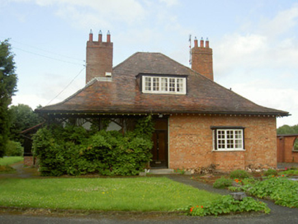 CromeenHouse · 142 yd
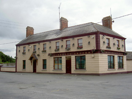 Ginnety'sHouse · 220 yd
 Viking BoatHeritage attraction · 259 yd
 Round tower in DromiskinRound tower · 311 yd
 Graveyard324 ydDrummeenagh HillMountain / peak · 1.1 mi
 IndicatedBawn · 1.4 mi
 CastleCastle, tower house · 1.4 miLong WoodForest · 2.2 mi
 Graveyard in Richardstown (ardee By., Richardstown Par.)Graveyard · 5.0 mi
 Monterey Cypress5.1 mi
 Graveyard in StickillinGraveyard · 6.1 mi
More archaeology and monuments in County Louth · All of County Louth
What do you know about this place?Tap to add a comment or ask a question