What is recorded here
Indicated, Milltown (louth By.) preserves a bawn wall whose northern edge still fronts the roadway while its western portion joins the tower house. Modern farm buildings have swallowed the rest, yet the SE angle stands broken at 2.8m, matching the surviving northern wall and suggesting the enclosure once closed completely around the castle. A new north-south wall now marks the eastern boundary, carrying the old line into the present farm.
The remains of the bawn wall associated with the tower house (LH012-061001-) can clearly be seen in the modern farm buildings. Its N wall fronts onto the roadway while the W portion returns from it and joins onto the NW angle of the tower house. The masonry of the SE angle has been broken to a height of c. 2.8m above the ground, which is about the same height as that of the remaining bawn wall at the N side. It would therefore appear that the bawn wall originally also joined the castle at the SE angle. A modern N-S wall which bounds the present grounds of the house appears to occupy the line of the original E wall of the bawn.
The above description is derived from both the published 'Archaeological Inventory of County Louth' (Dublin: Stationery Office, 1986) and the 'Archaeological Survey of County Louth' (Dublin: Stationery Office, 1991). In certain instances the entries have been revised and updated in the light of recent research.
Date of upload: 19 April 2012
The monument record does not grant public access. Check the route and ask the landowner before entering private land.
- What survives
- Recorded monument
Places near here
 CastleCastle, tower house · 20 yd
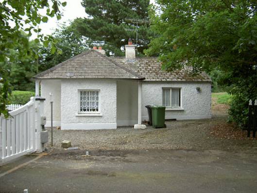 Grange Housegate lodge · 584 yd
 Field system in Commons (dromiskin Par.)Field system · 660 yd
 Enclosure in WhiterathEnclosure · 963 yd
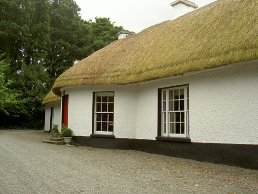 Whiterath Cottagehouse · 1126 yd
 Viking BoatHeritage attraction · 1.3 mi
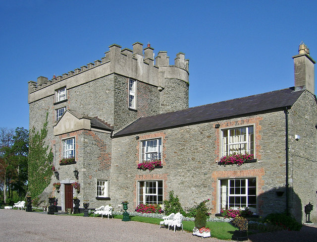 Bawn in DarverBawn · 1.6 mi
 Long WoodForest · 1.7 mi
 Broad WoodForest · 1.8 mi
 Drummeenagh HillMountain / peak · 2.3 mi
 Photo GalleryHeritage attraction · 4.8 mi
 Maid of ErinMemorial · 5.0 mi