Places near here
Photo credits
- National Inventory of Architectural Heritage
- Kmcnamee, Wikimedia Commons · CC BY-SA 4.0
- Mike Searle, Geograph · CC BY-SA 2.0
- dougf, Geograph · CC BY-SA 2.0
 Riddlestown ParkCountry house · 904 yd
Explorer Tom Riddlestown Park was built for a Justice who clearly had taste and a massive ego, probably because he wanted to look…
 Kilcool BridgeBridge · 1676 yd
Explorer Tom Kilcool Bridge gave up chocolate for Lent this year because it wanted to focus on its V-cutwaters. It’s built like a…
 St. Kieran's GAA pitchGAA ground · 1.0 mi
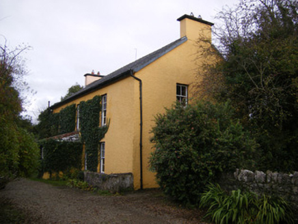 creamery1.2 mi
Explorer Tom Creamery in Ballyan would bring a bucket of butter and attitude to any party. It’s sat by the river, probably judging…
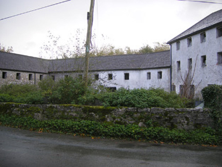 Altavilla MillMill (water) · 1.2 mi
Explorer Tom Altavilla Mill would cope well on a reality show, probably winning for best dramatic exit when its wheel ground to a…
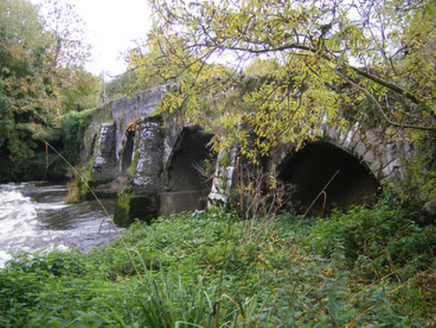 bridge1.2 mi
Explorer Tom Bridge in Altavillla claims a fake royal visit that nobody can disprove, complete with a 'lover's seat' refuge. The…
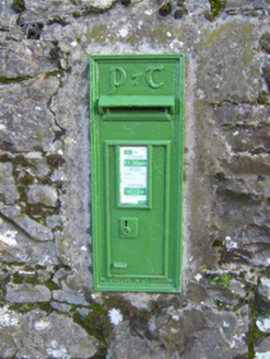 post box1.3 mi
Explorer Tom Post box in Ballynamuddagh confuses the map makers because it speaks Gaelic while they’re speaking English. It’s a…
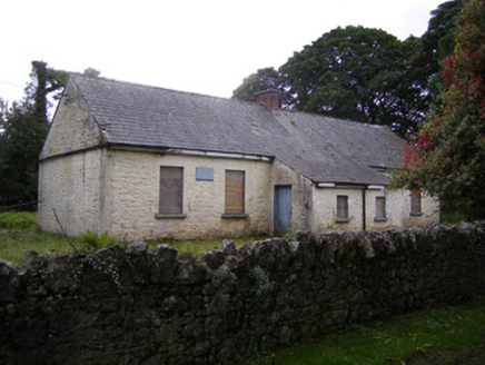 Nutgrove National SchoolSchool · 2.1 mi
Explorer Tom Nutgrove National School in Mullagh has two doors, which confuses the local sheep who just want to get in for a snack.…
 Ballyegny HouseHouse · 2.1 mi
Explorer Tom Ballyegny House has a secret talent: it can balance a teacup on its chimney stack without spilling. The symmetrical…
St. Mary's Sean Finns, Rathkeale GAA pitchGAA ground · 2.3 mi Castle MatrixCastle · 2.4 mi
Explorer Tom Castle Matrix has a tall tale about a hidden tunnel that leads straight to the nearest pub, which I am fully buying.…
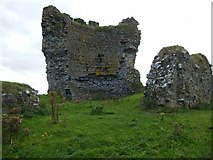 CastleCastle, motte and bailey · 5.0 mi
Explorer Tom Castle in Shanid Upper is having a feud with its neighbour over something daft, probably a fence line. It’s sitting on…
More archaeology and monuments in County Limerick · All of County Limerick

What do you know about this place?Tap to add a comment or ask a question