What is recorded here
Situated on Tallaght Hill at Mountseskin in a forest plantation. A mound identified by Healy (1975a) as being rectangular in shape (L 23m, Wth 11m, H 1.5m). No visible surface trace at this location.
From the National Monuments Service (Archaeological Survey of Ireland) record DU024-040
The monument record does not grant public access. Check the route and ask the landowner before entering private land.
- What survives
- Recorded monument
Places near here
Photo credits
- National Inventory of Architectural Heritage
- Jonathan Billinger, Geograph · CC BY-SA 2.0
- JP, Geograph · CC BY-SA 2.0
- Hamish Bain, Wikimedia Commons · CC BY-SA 2.0
- Mike Searle, Geograph · CC BY-SA 2.0
- Sitomon, Wikimedia Commons · CC BY-SA 2.0
CairnCairn, unclassified · 1063 ydCairnCairn, unclassified · 1073 yd farmyard complex1308 ydBallinascorney HouseHunting/fishing lodge · 1500 ydBlack HillMountain / peak · 1.2 miBallinascorney WoodForest · 1.5 miGraveyard in BallymanaGraveyard · 1.7 miBallymorefinn HillMountain / peak · 2.1 miNoel Lemass MemorialMemorial · 4.8 miCastleCastle, tower house · 5.1 miCastleCastle, tower house · 5.3 miEuropean Yew5.4 mi
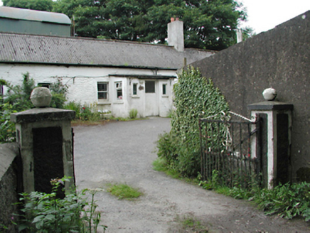 farmyard complex1308 yd
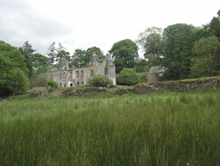 Ballinascorney HouseHunting/fishing lodge · 1500 yd
 Black HillMountain / peak · 1.2 miBallinascorney WoodForest · 1.5 miGraveyard in BallymanaGraveyard · 1.7 mi
 Ballymorefinn HillMountain / peak · 2.1 mi
 Noel Lemass MemorialMemorial · 4.8 mi
 CastleCastle, tower house · 5.1 mi
 CastleCastle, tower house · 5.3 mi
 European Yew5.4 mi
More archaeology and monuments in County Dublin · All of County Dublin
What do you know about this place?