
What is recorded here
Knockannavea is a broken circle on Tallaght Hill, marked by a central hollow where its stones disappeared and a forest road cut through its north-west edge. Furze still claws at the remaining mound, while metal poles and a tripod pierce the damage like modern bones. The cairn has lost most of its shape, but it keeps the hilltop company, waiting for someone to remember that even a wound can be a boundary.
Situated on the summit of Tallaght Hill at Knockannavea, on a right-angle bend in the townland boundary. A circular round-topped cairn (diam.22m; H 3.5m) covered in furze. There are no indications of kerbstones present. There is a central hollow where the cairn has been robbed of its stone. In 1994 this site was damaged when a forest road cut into the perimeter of the cairn in the N, W and NW. Both a metal and a wooden pole have been inserted into the edge of the monument in the NW and a metal tripod is positioned on the summit. Forestry has been planted directly up to the SE quadrant of the monument. (Healy 1975, 1-19)
Compiled by: Geraldine Stout and Padraig Clancy
Revised upload on: 7 July 2018
The monument record does not grant public access. Check the route and ask the landowner before entering private land.
- What survives
- Recorded monument
Places near here
 KnackannaveaMountain / peak · 265 yd
 Stone CircleCairn, unclassified · 732 yd
 IndicatedMound · 804 yd
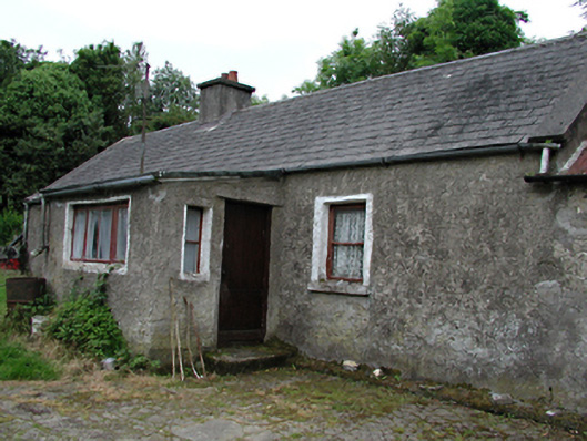 farmyard complexfarmyard complex · 1637 yd
 Verschoyle's HillMountain / peak · 1.1 mi
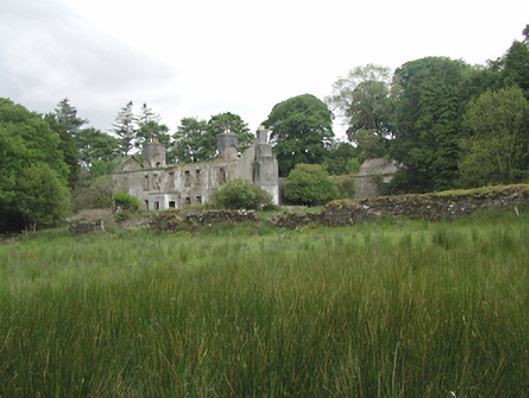 Ballinascorney Househunting/fishing lodge · 1.2 mi
 Graveyard in BallymanaGraveyard · 1.2 mi
 Ballinascorney WoodForest · 1.6 mi
 CastleCastle, tower house · 2.3 mi
 Rathcoole WoodlandWood · 2.6 mi
 Meadow WildlifeVisitor information · 2.7 mi
 Saint Ann's WellSpring · 3.0 mi
Other information
Photo: Credit not shown in the picture search · Rights wording not checked; contact us if this picture should be removed