
What is recorded here
Situated on a rise in a natural plateau on the NE side of Tallaght Hill which is in rough upland pasture. An elongated grass-covered cairn (L 16.7m; Wth 13m; H 1.15m). It is partially defined by a stone circle (DU024-027002-) of sixteen irregularly spaced boulders of granite and conglomerate. Handcock (1991, 151, 2nd ed. ) identified a chamber in the cairn surrounded by a circle of stones. McDix (1925, 26) described an inner circle of stones (diam.2.7m).
Compiled by: Geraldine Stout and Padraig Clancy
Revised upload on: 7 July 2018
A Neolithic stone circle and cairn; significant as a ritual or ceremonial site, typical of early farming communities in Ireland.
The monument record does not grant public access. Check the route and ask the landowner before entering private land.
- What survives
- Recorded monument
Places near here
 IndicatedMound · 85 yd
 CairnCairn, unclassified · 430 yd
 KnackannaveaMountain / peak · 689 yd
 Graveyard in BallymanaGraveyard · 1521 yd
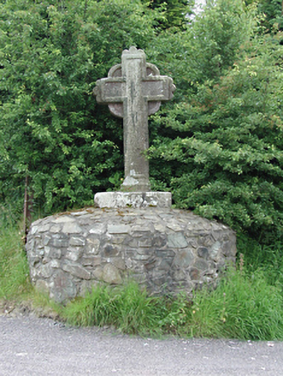 monumentmonument · 1587 yd
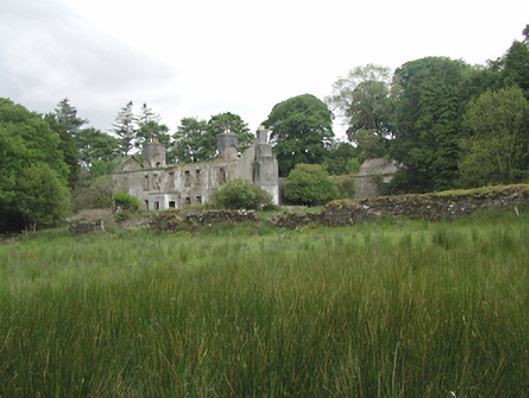 Ballinascorney Househunting/fishing lodge · 1.1 mi
 SlievenabawnogeMountain / peak · 1.2 mi
 Ballinascorney WoodForest · 1.3 mi
 Sean Walsh ParkVisitor information · 2.3 mi
 CastleCastle, tower house · 2.4 mi
 Saint Ann's WellSpring · 2.7 mi
 Rathcoole WoodlandWood · 2.9 mi
Other information
Photo: Credit not shown in the picture search · Rights wording not checked; contact us if this picture should be removed