What is recorded here
The following description is derived from both the published 'Archaeological Inventory of County Louth' (Dublin: Stationery Office, 1986) and the 'Archaeological Survey of County Louth' (Dublin: Stationery Office, 1991). In certain instances the entries have been revised and updated in the light of recent research.
Date of upload/revision: 17 July 2007
Situated on summit of narrow E-W ridge. Remains of a flat-topped circular mound (overall diam. 14m; diam. at top 8.2m E-W, 4.5m N-S; H 2m). N side of mound has been partially removed, probably during the creation of a field bank along this side to form a tree plantation. Half-way up the mound is a berm from SW-S-E-NE, but this feature may be due to landscaping. Recorded as a ringfort by Barrett (CLAJ 1982, 82).
A Neolithic passage tomb; significant as a rare surviving example of early megalithic funerary architecture in the region.
The monument record does not grant public access. Check the route and ask the landowner before entering private land.
- What survives
- Recorded monument
Places near here
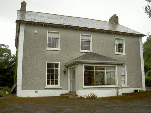 Janeville Househouse · 207 yd
 Holy well in KnockatoberHoly well · 894 yd
 Enclosure in DrominEnclosure · 1127 yd
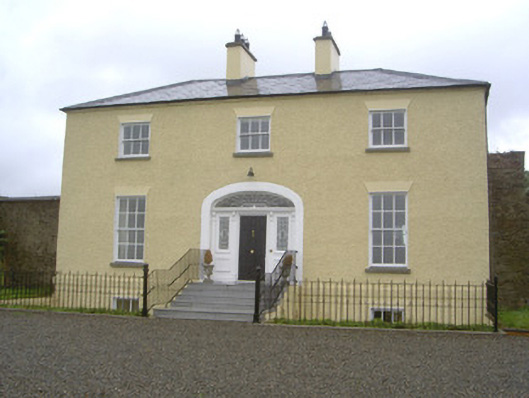 Rathcoole Househouse · 1232 yd
 CastleCastle, motte · 1251 yd
 Rathescar Lakeside WalkWood · 1484 yd
 Not idicatatedCastle, unclassified · 1.5 mi
 Monterey CypressMonterey Cypress · 1.6 mi
 Graveyard in Richardstown (ardee By., Richardstown Par.)Graveyard · 1.6 mi
 Graveyard in StickillinGraveyard · 2.9 mi
 Black HillMountain / peak · 3.8 mi
 Monasterboice Round TowerHeritage attraction · 4.0 mi