What is recorded here
According to information gathered in 1967 by Peter Danaher (ASI) this field was called the 'Mount field' and was also known as the 'moat'. It might be the location of the 'moat' recorded for this townland in the OS Letters (CLAJ 1923, 200). This is also the approximate location of an earthwork shown on Taylor and Skinner's map (1777). The field is a long, low ridge beside a stream. There was no visible trace of an earthwork in 1967.
Compiled by: Claire Breen
Date of upload: 21 June 2012
This remains an important historical record, but the official description says the monument is no longer visible or has been destroyed. The monument record does not grant public access. Check the route and ask the landowner before entering private land.
- What survives
- No visible remains or recorded as destroyed
Places near here
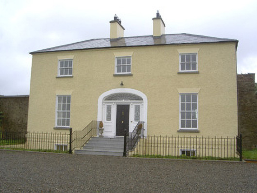 Rathcoole Househouse · 284 yd
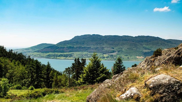 Man-made underground passage in ClivenMan-made underground passage · 287 yd
 Mullacurry Race CourseRuins · 942 yd
 Ritual siteRitual site, holy/saint's stone · 1317 yd
 Not idicatatedCastle, unclassified · 1347 yd
 Rathescar Lakeside WalkWood · 1549 yd
 Monterey CypressMonterey Cypress · 1.8 mi
 Rocjardstown CastleCastle, tower house · 1.8 mi
 Graveyard in Richardstown (ardee By., Richardstown Par.)Graveyard · 1.8 mi
 Graveyard in StickillinGraveyard · 2.5 mi
 Black HillMountain / peak · 3.3 mi
 Mount OrielMountain / peak · 3.5 mi