What is recorded here
Clear the dead zone and map the living world.
Low circular mound (15m NW-SE; 10m SW-NE) NE of burial ground (CW008-036001-) (pers. comm. Emmet Byrnes).
Compiled by: Claire Breen
Date of upload: 19 August 2011
The monument record does not grant public access. Check the route and ask the landowner before entering private land.
- What survives
- Recorded monument
Places near here
 EnclosureEnclosure, large enclosure · 133 yd
 Enclosure in Kellistown EastEnclosure · 462 yd
 Church (in ruins)Church · 743 yd
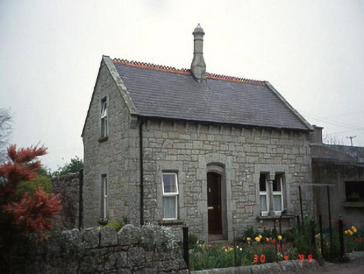 Moylegate lodge · 1215 yd
 Site of CastleCastle, unclassified · 1.5 mi
 Kilmurry Church (in ruins), GraveyardChurch · 1.8 mi
 Graigue Castle in ruinsCastle, unclassified · 2.1 mi
 Pedunculate OakPedunculate Oak · 2.4 mi
 Church (in ruins), GraveyardChurch · 3.1 mi
 Brownshill Portal TombVisitor information · 3.2 mi
 Duckett's GroveHeritage attraction · 3.8 mi
 Cork oakCork oak · 4.0 mi