
What is recorded here
The following description is derived from the published 'Archaeological Inventory of County Carlow' (Dublin: Stationery Office, 1993). In certain instances the entries have been revised and updated in the light of recent research.
Date of upload/revision: 8 July 2011
Revised by: Claire Breen
According to O'Donovan (OSL 1839, 15) part of the E gable and foundations indicating rectangular structure (dims. 11.9m x 5.5m). No visible traces. Field cleared sometime in mid-twentieth century.
This remains an important historical record, but the official description says the monument is no longer visible or has been destroyed. The monument record does not grant public access. Check the route and ask the landowner before entering private land.
- What survives
- No visible remains or recorded as destroyed
Places near here
 Enclosure in BaunogenasraidEnclosure · 456 yd
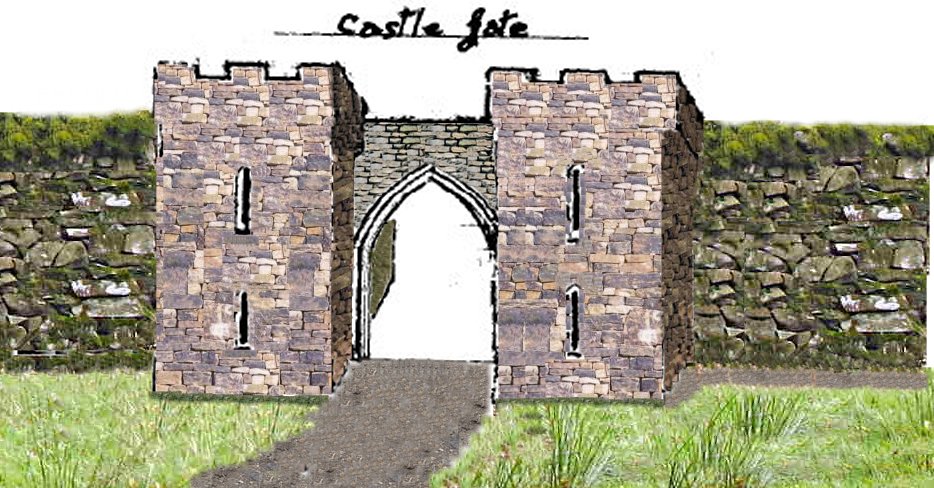 Enclosure in KillenoraEnclosure · 456 yd
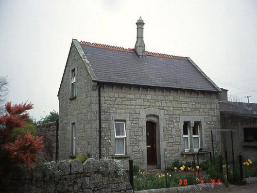 Moylegate lodge · 1363 yd
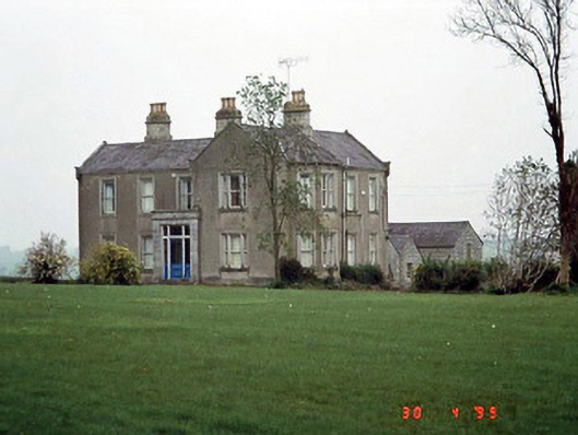 Littlemoyle Housefarm house · 1436 yd
 Site of CastleCastle, unclassified · 1.5 mi
 Friarstown Castle (in ruins)Castle, tower house · 1.8 mi
 Kilmurry Church (in ruins), GraveyardChurch · 2.2 mi
 Pedunculate OakPedunculate Oak · 2.6 mi
 Brownshill Portal TombVisitor information · 2.9 mi
 Duckett's GroveHeritage attraction · 3.4 mi
 Cork oakCork oak · 3.5 mi
 Church (in ruins), GraveyardChurch · 3.5 mi
Other information
Photo: Credit not shown in the picture search · Rights wording not checked; contact us if this picture should be removed