
What is recorded here
In tillage. A large enclosure (diam. c. 107m) defined by a cropmark is visible on Google Earth (imagery date 14 July 2018) and noted on an aerial photograph (GB20.GM.01) as the cropmark of a curved fosse immediately SW of ‘Kilomeel’ burial ground (CW008-036001-). Within the NE quadrant of the large enclosure there is circular enclosure (CW008-036006-).
See attached:
CW008-036006_05 Google Earth image (imagery date 14 July 2018) with enclosures highlighted
Compiled by: Jean Farrelly and Dr. Gillian Barrett for the Archaeological Survey of Ireland.
Date of revision: 25 February 2020
A large early-medieval ringfort (rath) visible as a cropmark in Kellistown East, likely dating to between the 5th and 10th centuries. No specific folklore is recorded for this site, though it may have been associated with local traditions of fairy forts in the region.
The monument record does not grant public access. Check the route and ask the landowner before entering private land.
- What survives
- Recorded monument
Places near here
 Enclosure in Kellistown EastEnclosure · 369 yd
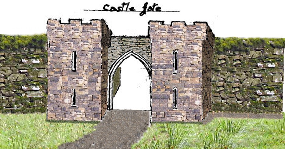 Enclosure in KillenoraEnclosure · 509 yd
 Church (in ruins)Church · 813 yd
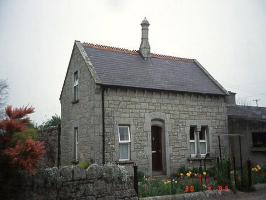 Moylegate lodge · 1106 yd
 Site of CastleCastle, unclassified · 1.5 mi
 Kilmurry Church (in ruins), GraveyardChurch · 1.8 mi
 Graigue Castle in ruinsCastle, unclassified · 2.0 mi
 Pedunculate OakPedunculate Oak · 2.4 mi
 Church (in ruins), GraveyardChurch · 3.1 mi
 Brownshill Portal TombVisitor information · 3.2 mi
 Duckett's GroveHeritage attraction · 3.8 mi
 Cork oakCork oak · 4.0 mi
Other information
Photo: Credit not shown in the picture search · Rights wording not checked; contact us if this picture should be removed