What is recorded here
In tillage. Visible on Apple Maps, Google earth and OSi Orthophotos as a circular soilmark (estimated diameter c. 30m), possibly the remains of a mound (pers. comm. C. Chambers, 25-06-2015).
Compiled by: Gearóid Conroy
Date of upload: 21-12-2015
The monument record does not grant public access. Check the route and ask the landowner before entering private land.
- What survives
- Recorded monument
Places near here
 Narraghmore WoodWood · 892 yd
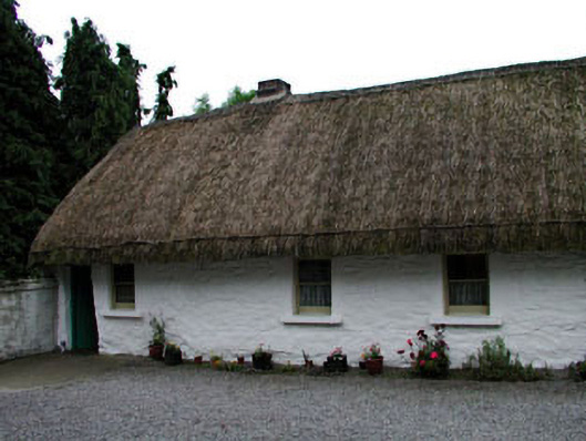 house, farm househouse, farm house · 911 yd
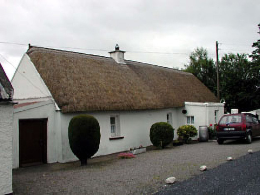 The Wee Thatchhouse · 1028 yd
 IndicatedFairy fort / earthen ringfort · 1234 yd
 Enclosure in KilleenEnclosure · 1242 yd
 CastleCastle, unclassified · 1.7 mi
 CrookanurnWood · 1.7 mi
 Battle of Kilrushbattle · 1.9 mi
 Blackhall CastleCastle, tower house · 2.5 mi
 Gorden Bennet Race memorialMemorial · 2.9 mi
 History of Moat of ArdscullVisitor information · 2.9 mi
 Burtown House and GardensHeritage attraction · 2.9 mi