
What is recorded here
Close to S bank of stream (c. 9m from stream) is an artifically raised area (H c. 1.4m), most of which is covered by dense thorn bushes so that its exact form was not discernable. According to local information this is known as 'a Fort' as is the nearby moated site (LI037-027----).
Compiled by: Denis Power
Date of upload: 24 August 2012
The monument record does not grant public access. Check the route and ask the landowner before entering private land.
- What survives
- Recorded monument
Places near here
 KnockounacappeenMoated site · 62 yd
 St Patricks WellHoly well · 1346 yd
 Cloncagh Church (in ruins)Church · 1435 yd
 Lady's WellSpring · 1460 yd
 Sunday WellSpring · 1461 yd
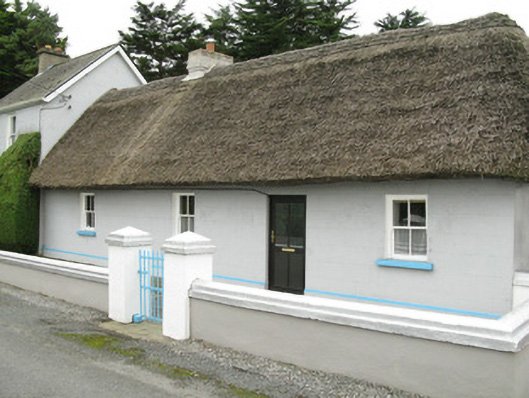 farm house, housefarm house, house · 1624 yd
 Ballynoe Castle (in ruins)Castle, tower house · 2.3 mi
 Hachured (1923).Castle, motte · 2.5 mi
 European ashEuropean ash · 3.4 mi
 Famine stoneMemorial · 3.7 mi
 KnockfeerinaMountain / peak · 4.2 mi
 Ballagh MountainMountain / peak · 9.6 mi
Other information
Photo: Credit not shown in the picture search · Rights wording not checked; contact us if this picture should be removed