
What is recorded here
In level dry pasture. Roughly rectangular area (c. 40m N-S; c. 40m E-W) defined by an earthen bank (int. H 0.3m; ext. H 3m) WNW->N and E->SSE; scarped edge N->E. External fosse (Base Wth. c. 8.00m; D 1.5m) WNW->SSE with traces visible SSE->SSW. Raised rectangular area (8m N-S; 20m E-W) defined by a scarped against inner side of earthen bank in NW corner of interior. Westropp (1906-7, 228) identifies this as possibly site of Ballymurely Castle, though also locates same castle in Maryville (LI037-094---) c. 3.5 km to S.
Compiled by: Denis Power
Date of upload: 26 August 2011
The monument record does not grant public access. Check the route and ask the landowner before entering private land.
- What survives
- Recorded monument
Places near here
 Mound in BallybegganeMound · 62 yd
 St Patricks WellHoly well · 1406 yd
 Cloncagh Church (in ruins)Church · 1496 yd
 Lady's WellSpring · 1520 yd
 Sunday WellSpring · 1520 yd
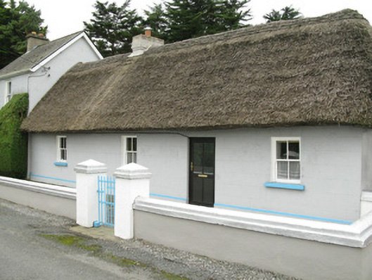 farm house, housefarm house, house · 1685 yd
 Ballynoe Castle (in ruins)Castle, tower house · 2.3 mi
 Hachured (1923).Castle, motte · 2.5 mi
 European ashEuropean ash · 3.4 mi
 Famine stoneMemorial · 3.6 mi
 KnockfeerinaMountain / peak · 4.2 mi
 Ballagh MountainMountain / peak · 9.6 mi
Other information
Photo: Credit not shown in the picture search · Rights wording not checked; contact us if this picture should be removed