What is recorded here
Flat topped mound (8m E-W, 8.50m N-S, H c. 5m, max basal diam. c. 27m)in prominent position, remains of ditch at S, SW and E situated 3m out from base of mound, may be of fairly recent origin. Burial ground and possible church site (OF012-005001-) lies just to the W. Located on top of Drumcooly Hill with good extensive views and nearby burial ground and church site (OF012-005001-) to the E with ballykilleen multi-ramparted ringfort (OF011-035----) visible to the S. The site consists of a circular flat topped mound (H 3.9m; diam top 8m; base diam 27m) enclosed by a partially filled in fosse (Wth 1.5m; D 0.5m) visible from E to S only with attached D-shaped Bailey (100m E-W; 50m N-S) enclosed by an earthen bank (Wth 3.5m; ext. H 1.5m; int. H 1m). A modern feature to the site was the construction of a water tower within the bailey to the W of the motte. It may have been during its construction that the fosse was filled in. Another alteration to the site seems to have been the building of a road to the S of the motte which clips the S bank of the bailey. Prior to the construction of this road the bailey may have extended further S to encompass the top of Drumcooly hill. The bailey is depicted as being circular on the first edition of the OS 6-inch map before later road alterations. The faint outline of the levelled bailey can still be seen in the field to the S of the public road.
From the National Monuments Service (Archaeological Survey of Ireland) record OF012-006001
The monument record does not grant public access. Check the route and ask the landowner before entering private land.
- What survives
- Recorded monument
Places near here
Enclosure in DrumcoolyEnclosure · 29 ydBurial GroundChurch · 182 yd Drumcooly ParkHouse · 188 ydfarm house539 ydDownshire BridgeBridge · 835 ydBlundell Castle (in ruins)Castle, tower house · 1.3 miGrange CastleCastle, tower house · 3.6 miBow WoodWood · 4.3 miSli na Slainte - mapVisitor information · 4.5 miHorse-chestnut5.4 miThe Fairy BowerHeritage attraction · 5.8 miLullymore Heritage ParkHeritage attraction · 5.8 mi
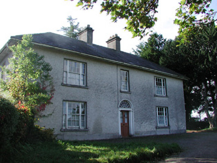 Drumcooly ParkHouse · 188 yd
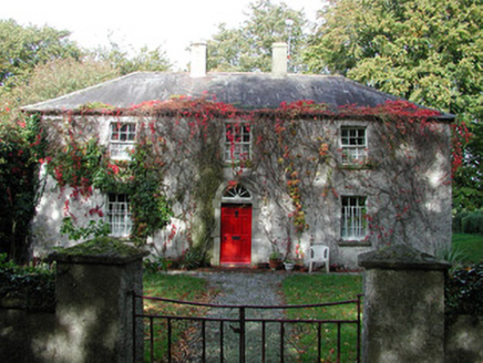 farm house539 yd
 Downshire BridgeBridge · 835 yd
 Blundell Castle (in ruins)Castle, tower house · 1.3 mi
 Grange CastleCastle, tower house · 3.6 miBow WoodWood · 4.3 miSli na Slainte - mapVisitor information · 4.5 mi
 Horse-chestnut5.4 miThe Fairy BowerHeritage attraction · 5.8 miLullymore Heritage ParkHeritage attraction · 5.8 mi
Pictures: National Inventory of Architectural Heritage; Royalcanalrunner, Wikimedia Commons · CC BY-SA 4.0; Dougbermingham ( talk ) ( Uploads ), Wikimedia Commons · CC0; Douglas P.Bermingham, Wikimedia Commons · CC BY-SA 3.0; Stephan van Helden, Wikimedia Commons · CC BY-SA 4.0
More castles and forts in County Offaly · All of County Offaly
What do you know about this place?