What is recorded here
Originally the motte (OF012-006001-) was situated in the centre of a circular enclosure that acted as its bailey. It is not clear of this enclosure pre-dates the motte or is a circular bailey that is contemporary with the motte.
From the National Monuments Service (Archaeological Survey of Ireland) record OF012-006002
The monument record does not grant public access. Check the route and ask the landowner before entering private land.
- What survives
- Recorded monument
Places near here
Burial GroundChurch · 157 yd Drumcooly ParkHouse · 160 ydfarm house567 ydDownshire BridgeBridge · 821 ydKillane Old Church SiteArchaeological place · 1389 ydBlundell Castle (in ruins)Castle, tower house · 1.3 miGrange CastleCastle, tower house · 3.6 miBow WoodWood · 4.3 miSli na Slainte - mapVisitor information · 4.5 miHorse-chestnut5.5 miThe Fairy BowerHeritage attraction · 5.8 miLullymore Heritage ParkHeritage attraction · 5.8 mi
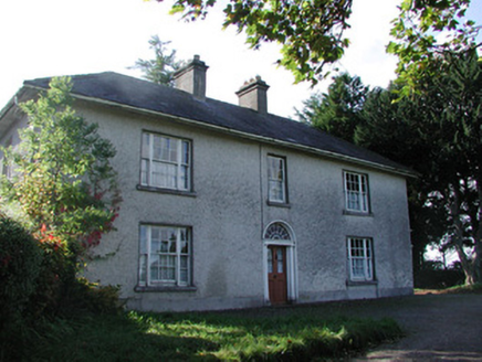 Drumcooly ParkHouse · 160 yd
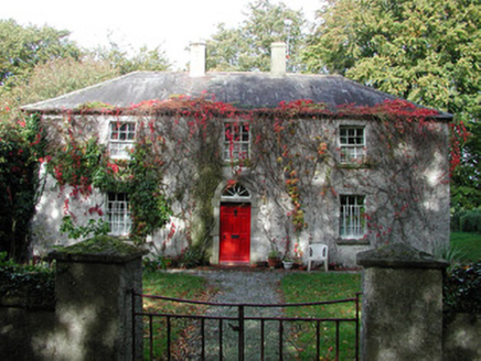 farm house567 yd
 Downshire BridgeBridge · 821 ydKillane Old Church SiteArchaeological place · 1389 yd
 Blundell Castle (in ruins)Castle, tower house · 1.3 mi
 Grange CastleCastle, tower house · 3.6 miBow WoodWood · 4.3 miSli na Slainte - mapVisitor information · 4.5 mi
 Horse-chestnut5.5 miThe Fairy BowerHeritage attraction · 5.8 miLullymore Heritage ParkHeritage attraction · 5.8 mi
Pictures: National Inventory of Architectural Heritage; Royalcanalrunner, Wikimedia Commons · CC BY-SA 4.0; Dougbermingham ( talk ) ( Uploads ), Wikimedia Commons · CC0; Douglas P.Bermingham, Wikimedia Commons · CC BY-SA 3.0; Stephan van Helden, Wikimedia Commons · CC BY-SA 4.0
More archaeology and monuments in County Offaly · All of County Offaly
What do you know about this place?