What is recorded here
No obvious remains of a church in the burial ground but the central area is raised which might indicate foundation levels of a building. (O'Flannagan 1927, 30) Motte OF012-006001-) lies just to the E. Located on N facing slope of a hill in undulating pasture land with large impressive Motte (OF012-006001-) to the E. In the W sector of the graveyard (OF012-005002-) there are the grass covered remains of N and E portions of a wall of roughly faced stones which may be the remains of a possible church (O'Flanagan 1927, 30). The N wall is 6m long, while the E wall is 2m long. The walls are an average of 0.75m high. No other architectural features visible.
From the National Monuments Service (Archaeological Survey of Ireland) record OF012-005001
The monument record does not grant public access. Check the route and ask the landowner before entering private land.
- What survives
- Recorded monument
Places near here
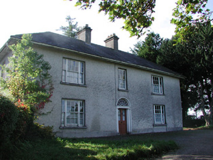 Drumcooly ParkHouse · 130 ydEnclosure in DrumcoolyEnclosure · 157 yd
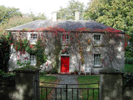 farm house680 ydKillane Old Church SiteArchaeological place · 1355 yd
 Blundell Castle (in ruins)Castle, tower house · 1.3 mi
 Grange CastleCastle, tower house · 3.6 miBow WoodWood · 4.4 miSli na Slainte - mapVisitor information · 4.5 mi
 Horse-chestnut5.5 miThe Fairy BowerHeritage attraction · 5.8 miLullymore Heritage ParkHeritage attraction · 5.9 miAllen family memorial headstoneMemorial · 6.4 mi
Pictures: National Inventory of Architectural Heritage; Dougbermingham ( talk ) ( Uploads ), Wikimedia Commons · CC0; Douglas P.Bermingham, Wikimedia Commons · CC BY-SA 3.0; Stephan van Helden, Wikimedia Commons · CC BY-SA 4.0
More archaeology and monuments in County Offaly · All of County Offaly
What do you know about this place?