
Places near here
Photo credits
- Willow, Wikimedia Commons · CC BY 2.5
- Eric Jones, Geograph · Creative Commons Attribution-ShareAlike 2.0
- Tulsk GAA club website; individual photographer not stated, www.tulskgaa.ie
- Gillaween, Wikimedia Commons · CC BY-SA 4.0
- Sawyer777, Wikimedia Commons · CC BY-SA 4.0
- Bing image result, image search
- National Inventory of Architectural Heritage
- Hyacinth45 at English Wikipedia, Wikimedia Commons · CC BY-SA 3.0
- Mike Searle, Wikimedia Commons · CC BY-SA 2.0
 European ash286 yd
Explorer Tom European ash in County Roscommon has been the subject of some wild prophecies that never actually came true, which is…
 Grave YardGraveyard · 1503 yd
Explorer Tom Graveyard in Tulsk surrounds a priory and holds fifty architectural fragments from the abbey next door. Saint Patrick…
 Tulsk Lord Edwards GAAGAA ground · 1.4 mi
 The Mórrígan: OweynagatLegend location · 2.1 mi
Explorer Tom The Mórrígan: Oweynagat is called the Cave of Cats, which fooled me into expecting a very ordinary sort of trouble.…
 Queen Medb: RathcroghanLegend location · 2.2 mi
Explorer Tom Queen Medb: Rathcroghan is where the Táin starts turning a quarrel about a bull into an epic. Medb had a royal seat…
 St. Croans GAAGAA ground · 5.7 mi
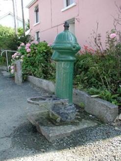 water pump6.1 mi
Explorer Tom The water pump in Bellanagare still works, which is impressive, considering it has had at least three different names…
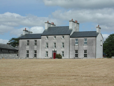 Dundermot HouseCountry house · 9.1 mi
Explorer Tom Dundermot House in Dundermot sits on a hill overlooking the River Suck, probably humming 'Country Roads' every single…
 Glinsk Castle in ruinsHouse, 17th century · 11 mi
Explorer Tom Glinsk Castle in ruins has a superstition: knock three times or it gets jealous. It’s a 17th-century diva that still…
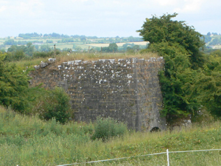 kiln11 mi
Explorer Tom Kiln in Ussey is run by a very serious dog that barks at the heat. The lime inside was baked with skills we don't have…
 Bawn in Glinsk (ballymoe By.)Bawn · 11 mi
Explorer Tom Bawn in Glinsk listens to what goes on inside the walls and probably hears the Burkes arguing about who left the light…
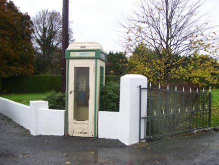 telephone box11 mi
Explorer Tom Telephone box in Glinsk is sitting there alone, probably writing scathing reviews of everyone who ever tried to use its…
More archaeology and monuments in County Roscommon · All of County Roscommon

What do you know about this place?Tap to add a comment or ask a question