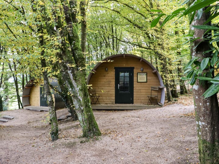
What is recorded here
On the W bank of a NNW-SSE section of Ogulla stream, c. 220m S of Ogulla holy well (RO022-106002-), and across the stream from moated site (RO028-014001-). Raised rectangular grass-covered platform (dims 43m NW-SE; 33m NE-SW) defined by a scarp (H 0.5m) at SW, field drains at NW and SE and the stream at NE.
Compiled by: Michael Moore
Date of upload: 24 August 2010
The monument record does not grant public access. Check the route and ask the landowner before entering private land.
- What survives
- Recorded monument
Places near here
 Man-made underground passage in Ballybeg (roscommon By., Ogulla Ed)Man-made underground passage · 264 yd
 ToberagullaSpring · 276 yd
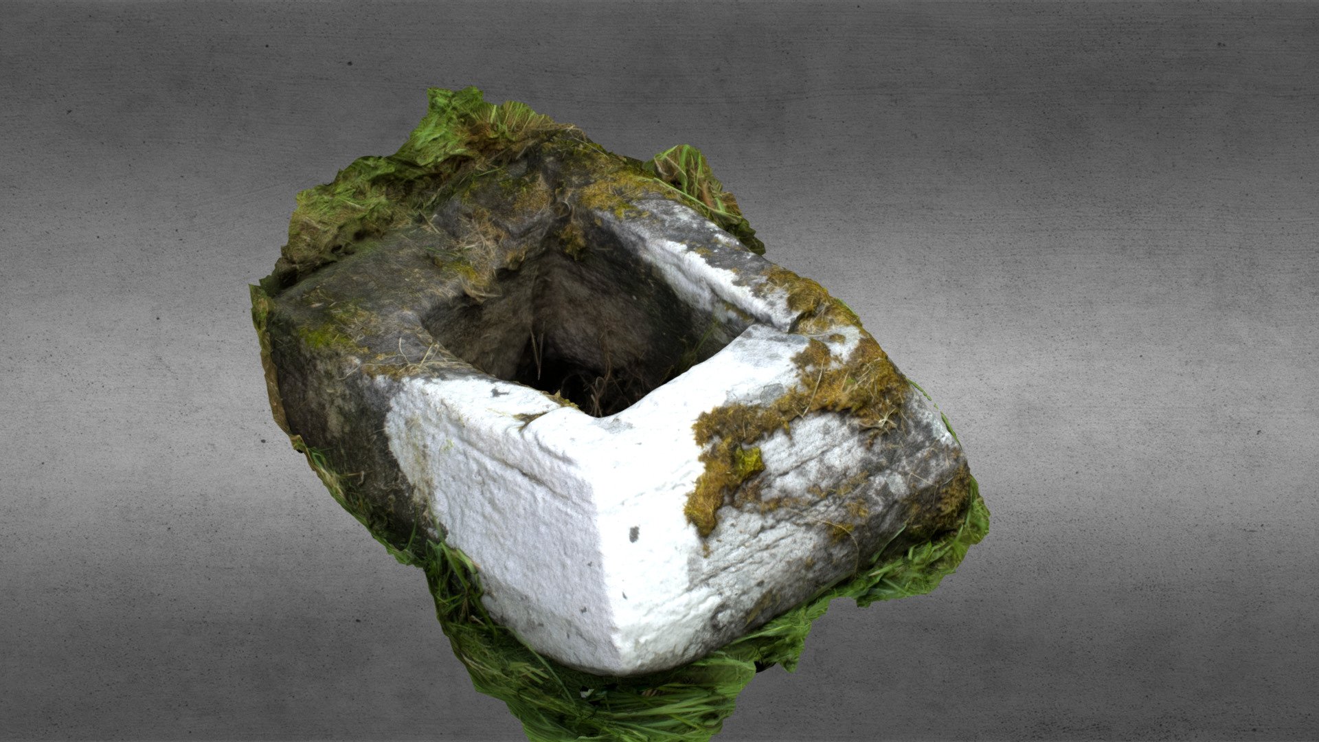 Church in OgullaChurch · 276 yd
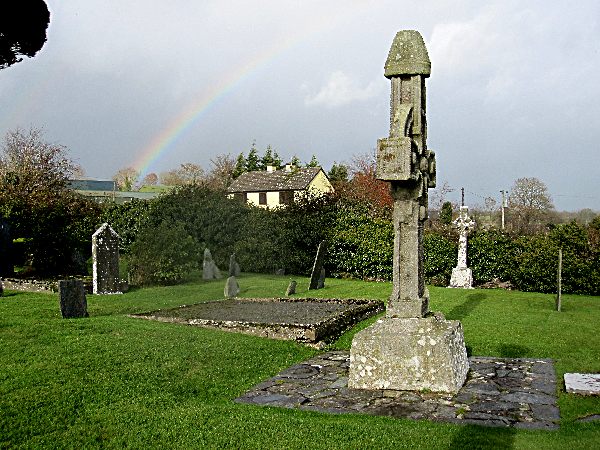 CrossCross, High cross · 289 yd
 European ashEuropean ash · 292 yd
 RoadRoad, road/trackway · 628 yd
 Cruachan Aí Heritage CentreMuseum · 1588 yd
 CastleCastle, unclassified · 1628 yd
 CastlerubyCastle, unclassified · 1.8 mi
 War of Independence Commemorative Military MemorialMemorial · 5.0 mi
 Sweet ChestnutSweet Chestnut · 7.1 mi
 Workhouse MemorialMemorial · 8.4 mi
Other information
Photo: Credit not shown in the picture search · Rights wording not checked; contact us if this picture should be removed