
What is recorded here
Castle is a circular grass-covered rubble mound beside the Ogulla River in County Roscommon, misidentified for decades as the castle O'Conor Roe built in 1406. The true castle likely stands at the nearby rath, leaving this broad mound to mark some forgotten chamber, workshop or boundary. Its irregular surface and scattered cut stones suggest a place repeatedly reused, abandoned and buried under grass.
On a slight rise in a low-lying position on the NW bank of the SW-NE Ogulla River, c. 30m to the SE. It was thought that this was the castle built by O'Conor Roe in 1406 (Gormley 1989, 33-4), but this is now likely to be the tower house (RO022-114011-) at the rath (RO022-114003-).
This is a circular grass-covered rubble mound with an irregular surface (diam. 26m E-W; 24m N-S; H 1.5m at N to 3.5m at S). Cut stones from a window were found in 1987 and re-buried (SMR file). Archaeological testing (04E0939) c. 100m to the SW in Grange townland failed to recover any related archaeological material (Read 2007). Rath (RO022-114003-) is c. 60m to the SE and the priory (RO022-114006-) is c. 120m to the SSW, on the other side of the stream.
Compiled by: Michael Moore
Date of upload: 24 August 2010
The monument record does not grant public access. Check the route and ask the landowner before entering private land.
- What survives
- Recorded monument
Places near here
 Cruachan Aí Heritage CentreMuseum · 98 yd
 IndicatedFairy fort / earthen ringfort · 106 yd
 AbbeyReligious house, Dominican friars · 170 yd
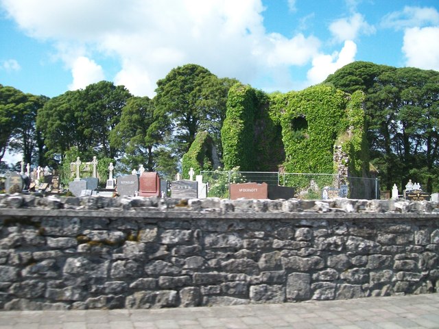 Grave YardGraveyard · 227 yd
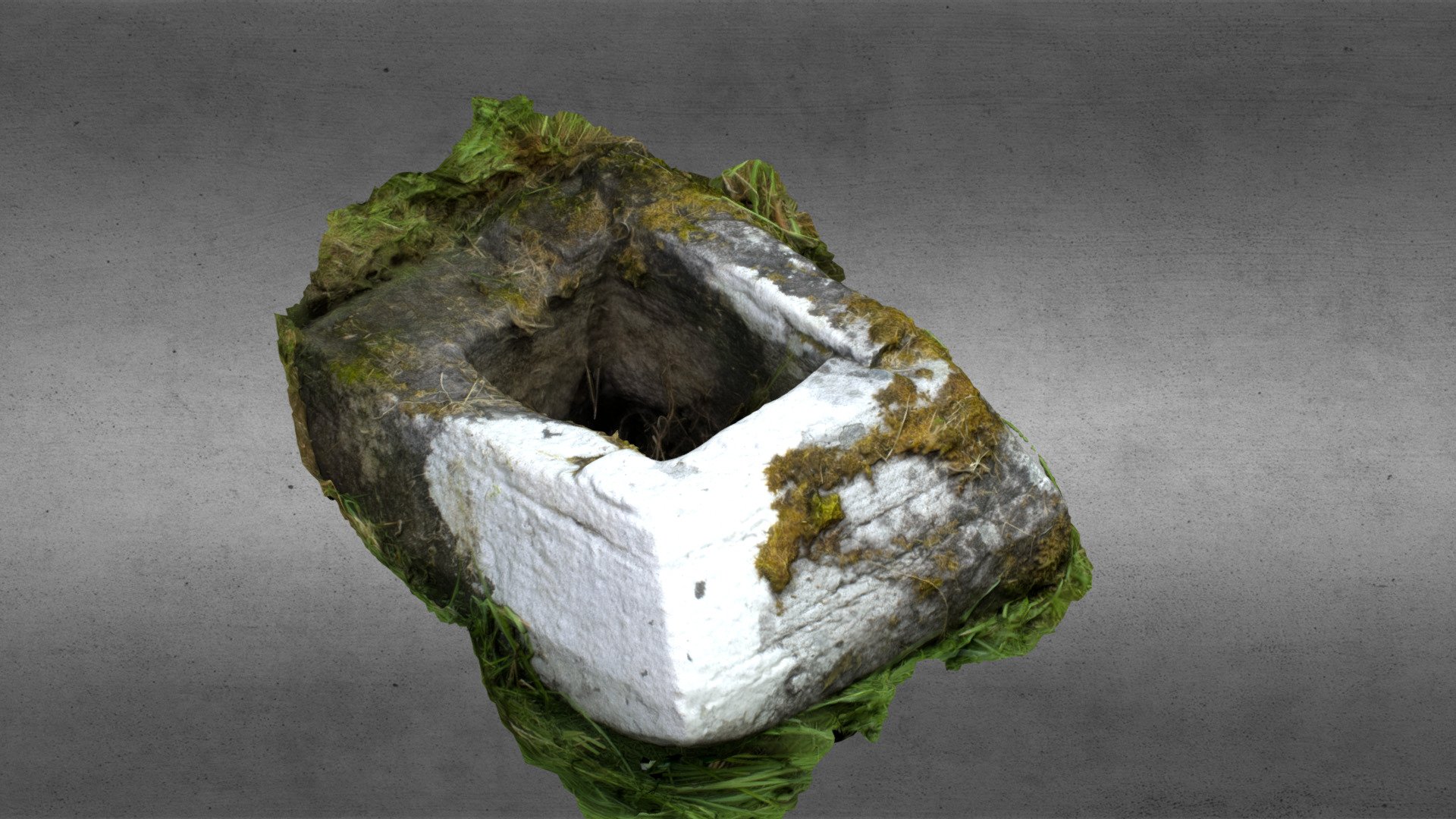 Church in OgullaChurch · 1564 yd
 ToberagullaSpring · 1638 yd
 European ashEuropean ash · 1642 yd
 CastlerubyCastle, unclassified · 2.7 mi
 War of Independence Commemorative Military MemorialMemorial · 4.3 mi
 Leitrim CastleCastle, unclassified · 5.4 mi
 Sweet ChestnutSweet Chestnut · 6.2 mi
 Silver IslandIslet · 8.7 mi
Other information
Photo: Credit not shown · Copyright shown; no reuse licence shown