
What is recorded here
Leitrim Castle belonged to the O'Flanagans before Turlough O'Brien lost it to Irish rebels by 1596, yet its grassy mound and broken wall footings still mark a thirty-metre bawn on a gentle ridge. The site may have been a defensible residence rather than a grand fortress, but the small corner tower and two house foundations suggest people lived there long enough to build rooms and boundaries. Its name reappears on the Strafford map of Ballintober barony around 1636, proving the castle remained recognizable decades after it changed hands.
Reputedly a castle of the O'Flanagans, according to J. O'Donovan writing in the 1830s (O'Flanagan 1931, vol. 1, 51; Herity 2010, 33), it had been lost by Turlough O'Brien to Irish rebels by 1596 (Cronin 1980, 117). A castle at Leitrim is marked on the Strafford map of Ballintober barony dating from c. 1636 (Simington 1949, B), and in 1641 54 acres at Leitrim was disputed between Donnagh Mc Kega, Henry Dodwell and Elinor Connor (ibid. 25).
The castle is situated on a gentle N-facing slope of a WNW-ESE ridge with rock outcrop. It is an oval, grass-covered mound of earth and stone (dims of top 11m E-W; 9m N-S; H 2m) at the NE angle of a rectangular enclosure (dims c. 30m E-W; c. 30m N-S) defined by grass-covered wall footings (Wth 1m; H 0.15-0.25m) and stone spreads on the N and W sides, which was probably a bawn (RO034-019002-). At the NW angle of this bawn are the foundations a small structure (int. dims 3m E-W; 3m N-S) with an entrance (Wth 0.6m) at N, which is probably a corner tower. South of the castle mound are the foundations of a rectangular house (RO034-019003-) (int. dims 9.3m E-W; 5.3m N-S) defined by a stone spread (Wth 1m; H 0.1-0.25m) with an entrance (Wth 1.3m) on the E side. A second house site (RO035-019004-), represented by parts of the N and E walls is just to the W.
Compiled by: Michael Moore
Date of upload: 24 August 2010
Leitrim Castle was held by the O'Flanagans, a Gaelic Irish family, in the 16th century and was lost to Irish rebels by 1596. It is remembered as part of the local heritage associated with the O'Flanagans and the broader history of Gaelic resistance during the late medieval period.
The monument record does not grant public access. Check the route and ask the landowner before entering private land.
- What survives
- Recorded monument
Places near here
 Lisnagree FortFairy fort / earthen ringfort · 394 yd
 IndicatedFairy fort / earthen ringfort · 418 yd
 AbbeyChurch · 1.2 mi
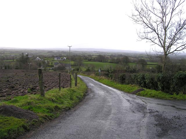 RoadRoad, road/trackway · 2.1 mi
 Slieve BawnMountain / peak · 4.1 mi
 Doughill ForestForest · 4.3 mi
 Common LimeCommon Lime · 4.9 mi
 Strokestown House GardensHeritage attraction · 4.9 mi
 Strokestown ParkHeritage attraction · 5.2 mi
 CastleCastle, unclassified · 5.4 mi
 ToberagullaSpring · 5.9 mi
 CastlerubyCastle, unclassified · 7.1 mi
Other information
Photo: Credit not shown in the picture search · Rights wording not checked; contact us if this picture should be removed