
What is recorded here
Marked as a D-shaped feature (dims c. 35m E-W; c. 20m N-S) on the 1837 and 1929 eds of the OS 6-inch map, and situated towards the top of the SSW-facing slope of a WNW-ESE ridge. This is a D-shaped grass-covered area (dims 32m WNW-ESE; c. 20m NNE-SSW) defined by an earthen bank (Wth 4.8m; int. H 0.2m; ext. H 0.35m) at ESE which is reduced to a slight scarp ESE-S-WNW. The monument is truncated by a WNW-ESE field wall and townland boundary with Leitrim at N, and no feature is visible N of this wall. Rath (RO035-018----) is c. 180m to the E and rath (RO035-020----) is c. 210m to the SW.
Compiled by: Michael Moore
Date of upload: 24 August 2010
The monument record does not grant public access. Check the route and ask the landowner before entering private land.
- What survives
- Recorded monument
Places near here
 Lisnagree FortFairy fort / earthen ringfort · 258 yd
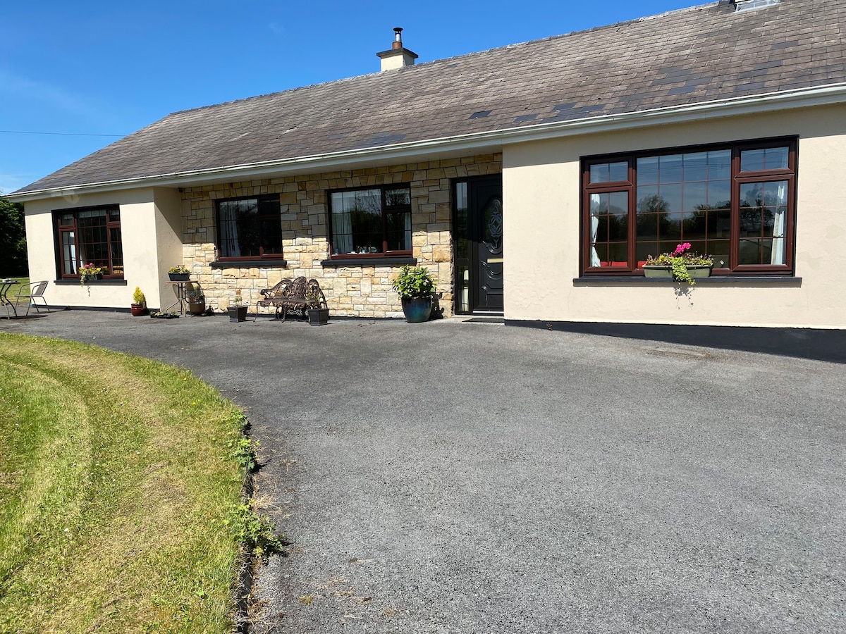 Embanked enclosureFairy fort / earthen ringfort · 290 yd
 Leitrim CastleCastle, unclassified · 418 yd
 AbbeyChurch · 1739 yd
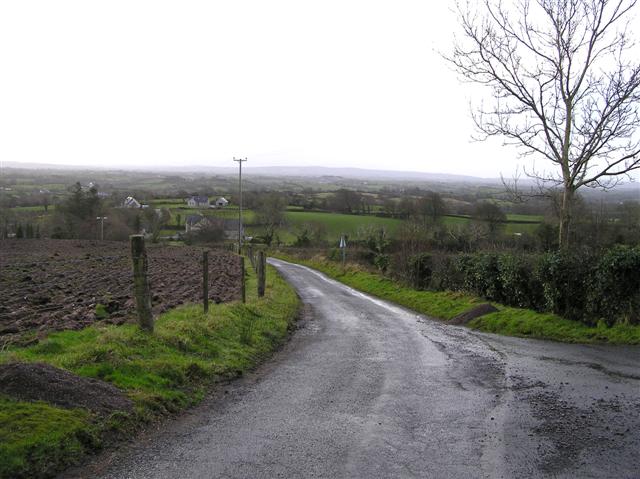 RoadRoad, road/trackway · 2.3 mi
 Slieve BawnMountain / peak · 4.0 mi
 Doughill ForestForest · 4.3 mi
 Common LimeCommon Lime · 5.0 mi
 Strokestown House GardensHeritage attraction · 5.1 mi
 Strokestown ParkHeritage attraction · 5.3 mi
 CastleCastle, unclassified · 5.7 mi
 ToberagullaSpring · 6.1 mi
Other information
Photo: Credit not shown in the picture search · Rights wording not checked; contact us if this picture should be removed