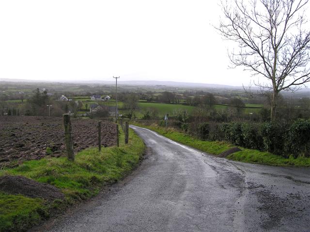
What is recorded here
Visible on aerial photograph (OSAP: 3/0144), and situated on a N-facing slope. A roadway (Wth 7m) defined by earth and stone banks (Wth 1.7-2m; H 0.25-0.4m) is aligned NW-SE (L c. 370m) and has the rath (RO028-189001-) and cashel (RO028-190001-) on the N side at its SE end. It continued into Grange townland at its NW end (L c. 150m plus) but it does not survive here. Archaeological testing (12E0399) c. 20m SW of the road and c. 30m SW of the rath (RO028189001-) at the nearest point produced no related material (Crumlish 2012). See excavations.ie (2012:506).
Compiled by: Michael Moore
Date of upload: 24 August 2010
Amended: 4 February 2020
The monument record does not grant public access. Check the route and ask the landowner before entering private land.
- What survives
- Recorded monument
Places near here
 Enclosure in Ballyglass (roscommon By.)Enclosure · 226 yd
 IndicatedFairy fort / earthen ringfort · 266 yd
 Grange AbbeyChurch · 994 yd
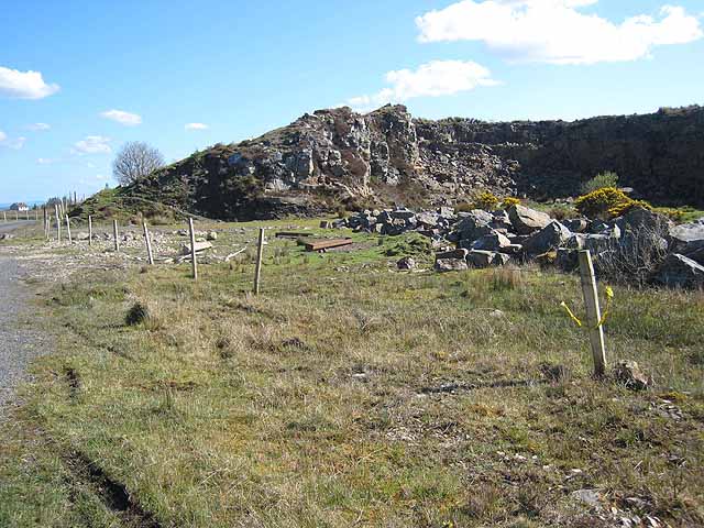 Quarry in BallydalyQuarry · 1471 yd
 Leitrim CastleCastle, unclassified · 2.1 mi
 Cruachan Aí Heritage CentreMuseum · 3.4 mi
 CastleCastle, unclassified · 3.5 mi
 ToberagullaSpring · 3.9 mi
 European ashEuropean ash · 3.9 mi
 Common LimeCommon Lime · 5.3 mi
 Strokestown House GardensHeritage attraction · 5.4 mi
 FerrinchIslet · 9.4 mi
Other information
Photo: Credit not shown in the picture search · Rights wording not checked; contact us if this picture should be removed