What is recorded here
On a rise on the SE bank of the SW-NE Ogulla River. Subcircular grass-covered mound (dims of top 34.7m E-W; 29.8m N-S; dims of base 45m E-W; 40m N-S) defined by scarps (H 1.5-1.8m E-S to 2.3m at W and 5m at N), with traces of a fosse (Wth of base 5m; D c. 0.5m) E-S. There is no visible entrance, and the perimeter has…
Read the whole record
On a rise on the SE bank of the SW-NE Ogulla River. Subcircular grass-covered mound (dims of top 34.7m E-W; 29.8m N-S; dims of base 45m E-W; 40m N-S) defined by scarps (H 1.5-1.8m E-S to 2.3m at W and 5m at N), with traces of a fosse (Wth of base 5m; D c. 0.5m) E-S. There is no visible entrance, and the perimeter has been damaged at SW. Tobernakirky well (RO022-114004-), a natural spring (diam. c. 10m), is immediately NW of the mound with a stream flowing N to the river. Archaeological testing (97E0030) c. 40m to the SW failed to produce any related material (Walsh 1998). From 2002 the rath became a focus of the Discovery Programme's medieval rural settlement module. Remote sensing surveys in 2003 revealed a roadway (RO022-114010-) (Wth c. 10m; L c. 50m) bordered by low earthen banks approaching from the S, and later field banks in the vicinity, together with anomalies suggesting stonework on the E part of the mound. Excavation (04E0850) beginning in 2004 exposed the base of a rectangular tower, probably a tower house (RO022-114011-) (ext. dim. c. 20m NNW-SSE; c. 10m ENE-WSW) with strong walls (at SW: Wth 1.8m) on a wide foundation (Wth c. 3m). It has a rounded corner at NE and a base batter, and is straddling the E side of the mound. The tower is divided into a small N room and larger S room, which itself is divided into two, and there is no clear evidence of a doorway. There is a garderobe chute in the E wall, and subsequently a building (dims c. 15m E-W; c. 9m N-S) was added to the E of the tower over the in-filled fosse (Brady 2009, 23-4). Further excavation in 2005 and 2006 removed the late 16th century layers post-dating the destruction of the castle, including a small oval feature, probably a late house-site or shelter (RO022-114012-) (dims c. 7m E-W; c. 4m N-S) at the N edge of the mound. During 2007 disturbed contexts containing early medieval material from the W edge of the rath were recovered including ring-brooches, glass beads and bone pins dating from the 10th-11th century. These layers may have been truncated at E by a large fosse surrounding the castle, but some of the rath bank with an internal revetment is preserved within the foundations of the castle. A number of occupation levels associated with the rath were glimpsed together with two fire-pits that may be from a corn-drying kiln. On the W side of the rath 1.2m of soil was introduced to raise the level of the rath, and a trench was dug through this, cutting off the E edge of the rath. The rath may have been sited on a prehistoric habitation site. (Brady 2011, 309-10)
The castle (RO022-114001-) is c. 60m to the NW on the other side of the stream and the priory (RO022-114006-) with the Bingham tower house (RO022-114009-) is c. 110m to the SW. Fulachta fia (RO022-115----; RO022-116----) are c. 120m to the NE and c. 80m to the ENE respectively. (Knox 1911, 225-8; Brady 2003; Brady and Gibson 2005; Brady 2007; 2009; 2011)
Compiled by: Michael Moore
Date of upload: 19 June 2012
From the National Monuments Service (Archaeological Survey of Ireland) record RO022-114003
Places near here
Photo credits
- Eric Jones, Geograph · Creative Commons Attribution-ShareAlike 2.0
- Willow, Wikimedia Commons · CC BY 2.5
- National Inventory of Architectural Heritage
- Davsca at English Wikipedia, Wikimedia Commons · CC BY 3.0
- PatWhelehan, Wikimedia Commons · CC BY-SA 4.0
- Miguel Angel Masegosa Martínez, Wikimedia Commons · CC BY 2.0
- Mike Searle, Wikimedia Commons · CC BY-SA 2.0
- Irishrover1980, Wikimedia Commons · CC BY-SA 4.0
 Cruachan Aí Heritage CentreMuseum · 100 yd
 Grave YardGraveyard · 190 ydToberagullaSpring · 1712 yd
 European ash1717 yd
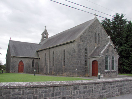 Saint Catherine's Catholic ChurchChurch/chapel · 2.1 mi
 RathcroghanMound · 2.6 mi
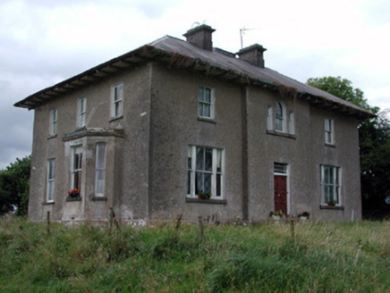 Rossmore HouseHouse · 2.7 mi
 War of Independence Commemorative Military MemorialMemorial · 4.4 mi
 Sweet Chestnut6.2 mi
.jpg/250px-Castles_of_Connacht-_Ballintober,_Roscommon_(geograph_1954203).jpg "Photo: Mike Searle, Wikimedia Commons · CC BY-SA 2.0") CastleCastle, Anglo-Norman masonry castle · 7.7 mi
CastleCastle, Anglo-Norman masonry castle · 7.7 mi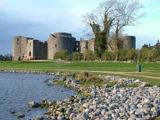 Roscommon CastleCastle · 10 mi
_-_geograph.org.uk_-_1952978.jpg/250px-Castles_of_Connacht,_Glinsk,_Galway_(2)_-_geograph.org.uk_-_1952978.jpg "Photo: Mike Searle, Wikimedia Commons · CC BY-SA 2.0") Bawn in Glinsk (ballymoe By.)Bawn · 11 mi
Bawn in Glinsk (ballymoe By.)Bawn · 11 miMore archaeology and monuments in County Roscommon · All of County Roscommon
What do you know about this place?Tap to add a comment or ask a question