What is recorded here
Situated on a steep natural hillock in hilly grassland. 'Rahanduff' ringfort (WM012-042---) 220m to WNW and possible motte (WM012-044---) 80m to NW. The road which forms the townland boundary with Galmoylestown Lower is 5m to N. Levelled site visible as a cropmark on Digital Globe aerial photograph taken November 2011. In 1970 the monument was upstanding and described as consisting of a sub-circular shaped area (approx. diam. 38m NE-SW; 33m NW-SE) enclosed by a low earthen bank and external fosse which is visible from NNW- NNE and from SSW-W. Traces of cultivation ridges are visible running E-W across the interior, which slopes NNW-ESE. The monument which appears to have been a roughly square shaped earthwork is clearly visible on Cambridge University aerial photographs taken July 1966 and July 1970 (CUCAP APE033-034; BDV074). On these aerial photographs the roughly square-shaped monument has the appearance of a possible moated site rather than a ringfort. A site visit in 1984 described the monument as levelled with no surface remains visible.
See attached profile of monument surveyed and drawn by the ASI.
Compiled by: Frank Coyne and Caimin O'Brien
Date of upload: 8 February 2018
The monument record does not grant public access. Check the route and ask the landowner before entering private land.
- What survives
- Recorded monument
Places near here
 CastleCastle, motte · 153 yd
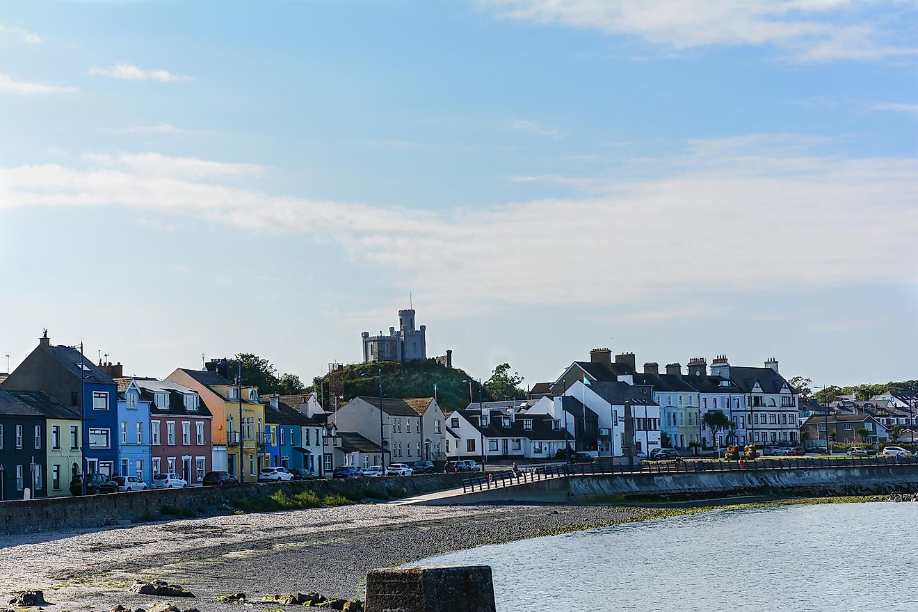 RahanduffFairy fort / earthen ringfort · 290 yd
 Partially hachuredFairy fort / earthen ringfort · 801 yd
 ChapelChurch · 1415 yd
 The Gleberectory/glebe/vicarage/curate's house · 1.1 mi
 Scragh Bog Nature ReserveNature reserve · 1.4 mi
 Knockdrin CastleCastle · 2.2 mi
 Long PlantingForest · 2.3 mi
 Church IslandIsland · 2.4 mi
 Bridge Memorial (Kenna)Memorial · 2.7 mi
 KnockeyonMountain / peak · 2.7 mi
 Srudarra IslandIslet · 3.1 mi