What is recorded here
Situated atop rise of ground with good views in all directions. Possible mound barrow (WM012-043----) 55m to E, possible moated site (WM012-044----) 120m to SE, ringfort (WM012-034----) 135m to SW. Modern quarry located immediately to N, NE and W. Annotated as 'Rahanduff' on all editions of the OS 6-inch maps. Slightly raised circular shaped flat-topped area (approx. diam. 30m) enclosed two earthen banks with intervening fosse. A possible entrance gap at SE is visible on Cambridge aerial photographs taken July 1966 and July 1970 (CUCAP APE033-034; BDV074-076). On these aerial photographs the bivallate ringfort is shown with large barrow type monument (WM012-043----) to SE and possible moated site (WM012-044----) with cultivation ridges which are now levelled. See attached profile of monument surveyed and drawn by the ASI.
Situated atop rise of ground with good views in all directions. Possible mound barrow (WM012-043----) 55m to E, possible moated site (WM012-044----) 120m to SE, ringfort (WM012-034----) 135m to SW. Modern quarry located immediately to N, NE and W. Annotated as 'Rahanduff' on all editions of the OS 6-inch maps. Slightly raised circular shaped flat-topped area (approx. diam. 30m) enclosed two earthen banks with…
From the National Monuments Service (Archaeological Survey of Ireland) record WM012-042
The monument record does not grant public access. Check the route and ask the landowner before entering private land.
- What survives
- Recorded monument
Places near here
Photo credits
- National Inventory of Architectural Heritage
- kevin higgins, Geograph · CC BY-SA 2.0
- fr:Gavigan:Knockdrin_a.jpg/Knockdrin_a.jpg, Wikimedia Commons · GFDL
- Jeanne dArc at English Wikipedia, Wikimedia Commons · CC BY-SA 3.0
- Rev William Falkiner (Life time: d 1910), Wikimedia Commons · Public domain
- Bridget Neville, Wikimedia Commons · CC BY-SA 4.0
- Kieran Campbell, Geograph · CC BY-SA 2.0
Partially hachuredFairy fort / earthen ringfort · 591 ydPartially hachuredFairy fort / earthen ringfort · 1091 yd Ballynafid National SchoolSchool · 1.1 miThe GlebeRectory/glebe/vicarage/curate's house · 1.1 miScragh Bog Nature ReserveNature reserve · 1.4 miChurch IslandIsland · 2.3 miLong PlantingForest · 2.4 miKnockdrin CastleCastle · 2.4 miKnockeyonMountain / peak · 2.8 miMortimer's CastleArchaeological place · 3.4 miSaint Brigid's WellSpring · 3.5 miWestmeathVisitor information · 6.5 mi
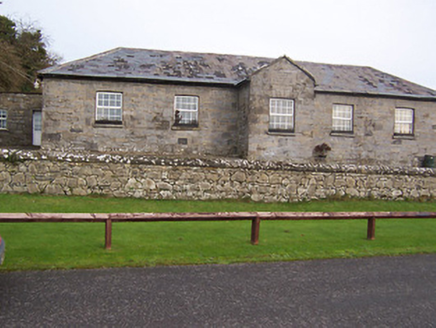 Ballynafid National SchoolSchool · 1.1 mi
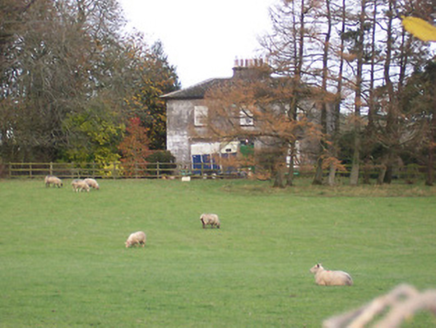 The GlebeRectory/glebe/vicarage/curate's house · 1.1 miScragh Bog Nature ReserveNature reserve · 1.4 mi
 Church IslandIsland · 2.3 miLong PlantingForest · 2.4 mi
 Knockdrin CastleCastle · 2.4 mi
 KnockeyonMountain / peak · 2.8 mi
 Mortimer's CastleArchaeological place · 3.4 mi
 Saint Brigid's WellSpring · 3.5 mi
 WestmeathVisitor information · 6.5 mi
More archaeology and monuments in County Westmeath · All of County Westmeath
What do you know about this place?