
What is recorded here
Situated on a slight rise in low lying grass-land, surrounded by hills. Depicted on the 1837 O.S. Fair Plan map as a roughly circular-shaped earthwork and annotated as ‘fort’. This site has been almost completely quarried away. All that remains is an L-shaped earthen platform (dims. 20m E-W; 18m NW-SE) defined by a scarp with traces of a slight external fosse (Wth 4.4m; D 0.45m) visible at W only.
Compiled by: Frank Coyne and Caimin O'Brien
Date of upload: 13 December 2017
The monument record does not grant public access. Check the route and ask the landowner before entering private land.
- What survives
- Recorded monument
Places near here
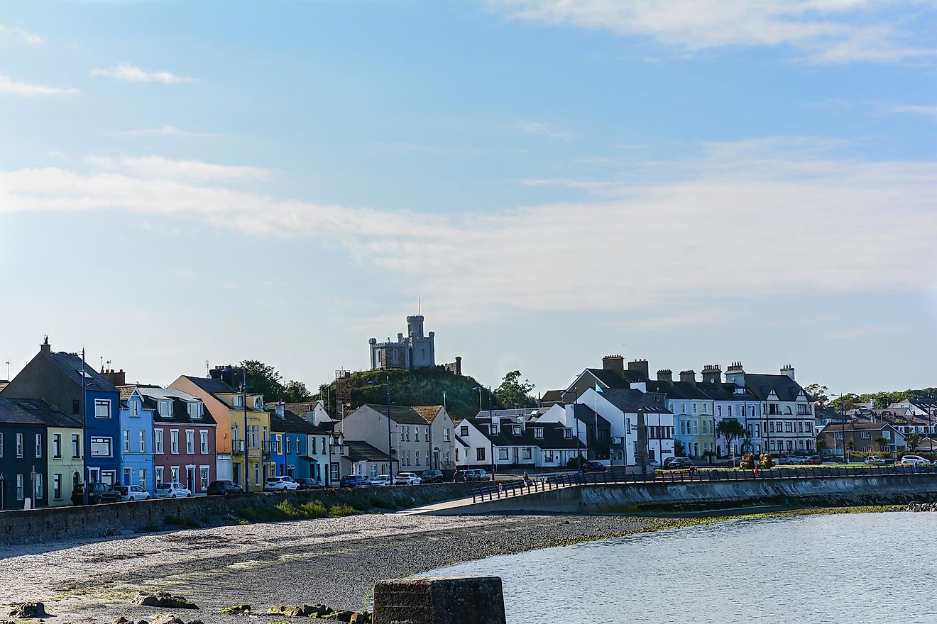 RahanduffFairy fort / earthen ringfort · 591 yd
 ChapelChurch · 614 yd
 CastleCastle, motte · 670 yd
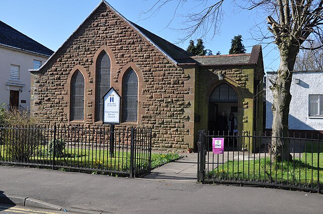 ToberslauntiaHoly well · 1196 yd
 Stonehallhouse · 1586 yd
 Scragh Bog Nature ReserveNature reserve · 1.7 mi
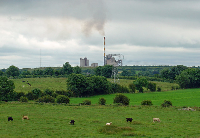 Partially indicatedCastle, motte · 2.0 mi
 Bridge Memorial (Kenna)Memorial · 2.2 mi
 Church IslandIsland · 2.6 mi
 Long PlantingForest · 2.7 mi
 KnockeyonMountain / peak · 2.7 mi
 Srudarra IslandIslet · 3.3 mi
Other information
Photo: Credit not shown in the picture search · Rights wording not checked; contact us if this picture should be removed