
What is recorded here
Situated atop steep natural hill with good views in all directions. 'Rahanduff' ringfort (WM012-042) 50m to W, possible levelled moated site (WM012-044---) 80m to SE. Modern quarry located immediately to N. A high steep-sided flat topped circular-shaped mound (approx. diam. 20m E-W) the base of which is enclosed by a wide deep fosse, and wide flat-topped berm the edge of which is defined by a bank with external fosse. The mound appears to be artificially raised and small quarry holes are visible on the summit of the mound at E and ESE. These quarry holes are clearly visible on Cambridge aerial photographs taken July 1966 and July 1970 (CUCAP APE033-034; BDV074-076). There is a gap (2.3m) in the inner bank and causeway across the inner fosse (Wth 1.2m; H 0.2m) at E. The berm (Wth varying from 5-10m) is widest at W. There is an entrance gap in the outer bank (Wth 2.5m) and causeway (Wth 1.1m; H 0.45m) across the fosse at ESE. A field fence, which forms the townland boundary with Galmoylestown Lower, runs along the perimeter of the monument from NE-SE.
On the Cambridge aerial photographs the monument has the appearance of a burial mound or motte rather than a ringfort. On the aerial photographs the bivallate ringfort (WM012-043---) in the background displays the characteristic morphology for a ringfort. It is possible that this site may be a prehistoric burial mound or Anglo-Norman motte rather than a ringfort. Alternatively it may have been a royal site as the monument is similar in morphology to the 'Forradh' or inauguration mound (ME031-033013-) at Ráth Ríogh on the Hill of Tara, Co. Meath.
See attached plan of monument surveyed and drawn by the ASI.
Compiled by: Frank Coyne and Caimin O'Brien
Date of upload: 8 February 2018
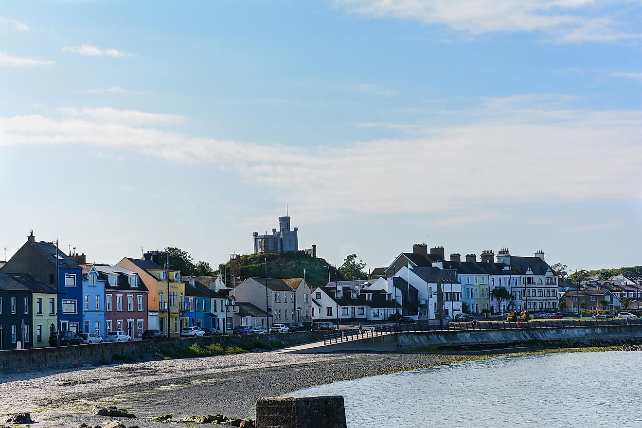
A local castle; wider significance not recorded.
The monument record does not grant public access. Check the route and ask the landowner before entering private land.
- What survives
- Recorded monument
Places near here
 RahanduffFairy fort / earthen ringfort · 140 yd
 Partially hachuredFairy fort / earthen ringfort · 670 yd
 ChapelChurch · 1281 yd
 The Gleberectory/glebe/vicarage/curate's house · 1.1 mi
 Scragh Bog Nature ReserveNature reserve · 1.4 mi
 Long PlantingForest · 2.3 mi
 Knockdrin CastleCastle · 2.3 mi
 Church IslandIsland · 2.4 mi
 Bridge Memorial (Kenna)Memorial · 2.6 mi
 KnockeyonMountain / peak · 2.7 mi
 Srudarra IslandIslet · 3.1 mi
 Castle (in Ruins)Castle, tower house · 3.4 mi
Other information
Photo: Credit not shown in the picture search · Rights wording not checked; contact us if this picture should be removed