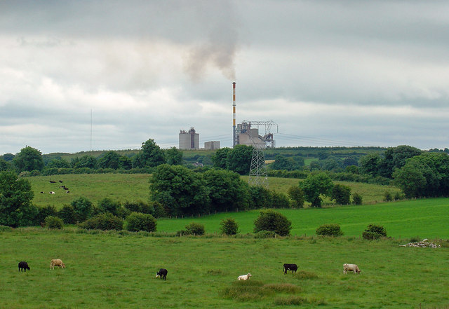
What is recorded here
Small flat-topped motte located immediately E of St. Nicholas’ R.C. Church and 70m W of the River Gaine in the village of Multyfarnham. Medieval church (WM006-061----) and graveyard (WM006-061001-) located 110m to SW. Described in 1985 as following; ‘The motte (top diam. 9.8m WSW-ENE; 12m NNW-SSE) is located on the E side of a low ridge with the River Gaine just to the E of it. It is a well preserved motte on the edge of Multyfarnham village. There is no indication of a bailey and if one existed it probably occupied the area now to the W of the motte as the natural slope is from the W to the E down to the nearby River Gaine. This area is now occupied by St. Nicholas R.C. Church’ (SMR File, 12/03/1985). A second report from 1985 recorded that the monument consisted of ‘a large roughly circular mound of earth and some stones. The N and W sides of the motte have been defaced by the boundary walls of a churchyard (on W) and by yards and gardens (on N). The E and S sides of the mound are regular and steep. A fosse-like depression at the base of the mound from SE-S-SSW continues on along the S side of the churchyard S wall’ (SMR File). The flat-topped mound may be the site of the unlocated levelled castle (WM006-060----) that is depicted on the 1659 Down Survey parish map of Multyfarnham (NLI, MS 723-4). A preservation order was placed on this monument in 1985.
Compiled by: Caimin O’Brien
Date of upload: 22 November 2015
A local castle; wider significance not recorded.
The monument record does not grant public access. Check the route and ask the landowner before entering private land.
- What survives
- Recorded monument
Places near here
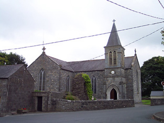 Saint Nicholas's Catholic Churchchurch/chapel · 24 yd
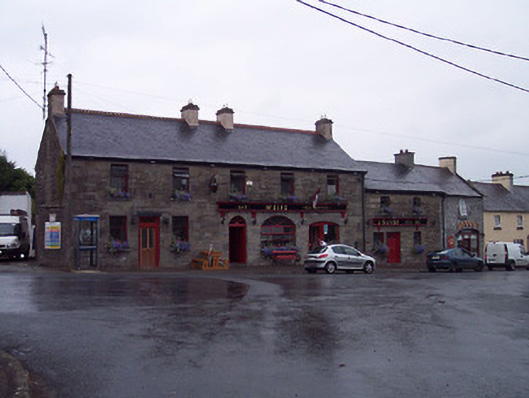 Weirspublic house · 69 yd
 ConventEcclesiastical site · 398 yd
 Bridge Memorial (Kenna)Memorial · 447 yd
 CastleCastle, unclassified · 543 yd
 Partially outlinedFairy fort / ringfort · 1538 yd
 Carrick CastleCastle · 2.3 mi
 Scragh Bog Nature ReserveNature reserve · 3.3 mi
 Church IslandIsland · 3.9 mi
 Carrickphilbin IslandIslet · 4.1 mi
 Lady's IslandWood · 4.5 mi
 Seafin HillMountain / peak · 10 mi
Other information
Photo: Credit not shown in the picture search · Rights wording not checked; contact us if this picture should be removed