What is recorded here
From the National Monuments Service (Archaeological Survey of Ireland) record DU011-040
Places near here
Photo credits
- National Inventory of Architectural Heritage
- Cg.wiki, Wikimedia Commons · CC BY-SA 4.0
- PST Sport project photograph; individual photographer not stated, pstsport.com
- Maker not stated on source page, readymap.irish
- Golfing in Ireland; photographer not stated, Source publisher
- Maker not stated on source page, www.istockphoto.com
- Jonjobaker, Wikimedia Commons · CC BY-SA 4.0
- Mike Searle, Wikimedia Commons · CC BY-SA 2.0
- Maker not stated on source page, en.wikipedia.org
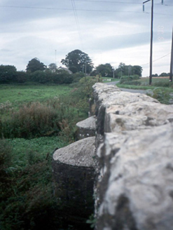 Chapelmidway BridgeBridge · 1129 yd
Explorer Tom Chapelmidway Bridge does this weird thing where it hums a tune when nobody is looking at it properly. It’s got three…
 Church (in ruins)Church · 1266 yd
Explorer Tom Corrstown Church is in the middle of a fairy dispute over parking rights, with only the base of the west tower left…
 Kilreesk, St. Margarets GAAGAA ground · 1270 yd
 Chapelmidway GraveyardGraveyard · 1274 yd
Explorer Tom Chapelmidway Graveyard gave up its own shadows for Lent, claiming they were too distracting for proper contemplation…
 St. Margarets Golf ClubGolf course · 1282 yd
 Fairy fort / ringfort in KilreeskFairy fort / ringfort · 1304 yd
Explorer Tom Fairy fort / ringfort in Kilreesk has a curving bank that might be part of a ringfort. Marcus Nolan saw it in 1989, so…
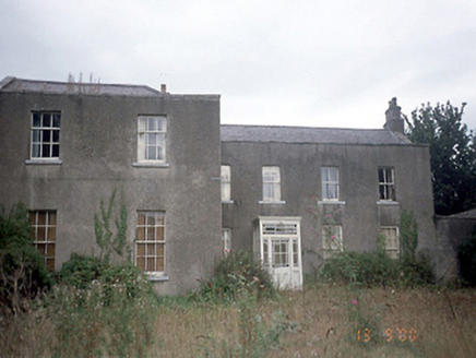 Corrstown HouseCountry house · 1654 yd
Explorer Tom Corrstown House in Corrstown is an 1850 country house sitting in golf course grounds. It’s got an M-profile roof and…
 Corrstown Golf ClubGolf course · 1657 yd
 bridge1735 yd
Explorer Tom Bridge in Kilreesk is a single-arch bridge from around 1800 that looks like it’s been left out in the rain so long it’s…
 Graveyard in St. Margaret'sGraveyard · 1.2 mi
Explorer Tom Graveyard in St. Margaret's is sub-rectangular with a steep slope from south to north. There’s an 18th-century…
 CastleCastle, tower house · 1.3 mi
Explorer Tom Dunsoghly Castle once had a massive feud with the next village over whose potatoes were tastier, and honestly, we never…
 Church wellHoly well · 2.0 mi
Explorer Tom Church well in Kilshane was in the corner of an Old Burying Ground but has been removed by quarrying. It used to be for…
More archaeology and monuments in County Dublin · All of County Dublin

What do you know about this place?Tap to add a comment or ask a question