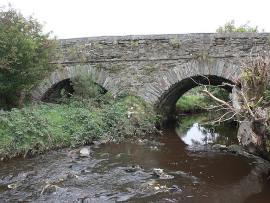
What is recorded here
Double-arch road bridge over the Gleneely River, built c. 1800. Segmental arches with roughly squared rubble stone voussoirs. Random rubble to vaults. Rubble stone triangular cutwaters. Random rubble walls with stringcourse at deck level. Random rubble walls to parapets with smooth rendered coping. Double carriageway with tarmac to deck.
A simple, attractive bridge with fine masonry skills evident in its construction. It is similar in style to other bridges in the area including Moglass Bridge (40901229), Ballintroohan Bridge (40901221), Drumnagassan Bridge (40901237) and thus constitutes an important part of the area's historic environment. An extensive milling complex is depicted on the Ordnance Survey first edition six-inch map of c. 1837 with a corn mill, kiln, mill stream and pond, just to the south of the bridge, which no doubt required a good road network for trade. After two centuries of use, its continued use is testament to its design and construction.
This does not grant access. Most recorded buildings are privately owned; view them only from public ground unless the owner allows entry.
Places near here
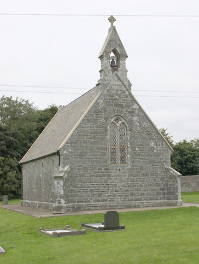 All Saints Church of Ireland Churchchurch/chapel · 214 yd
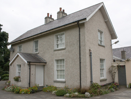 Gleneely Church of Ireland Rectoryrectory/glebe/vicarage/curate's house · 257 yd
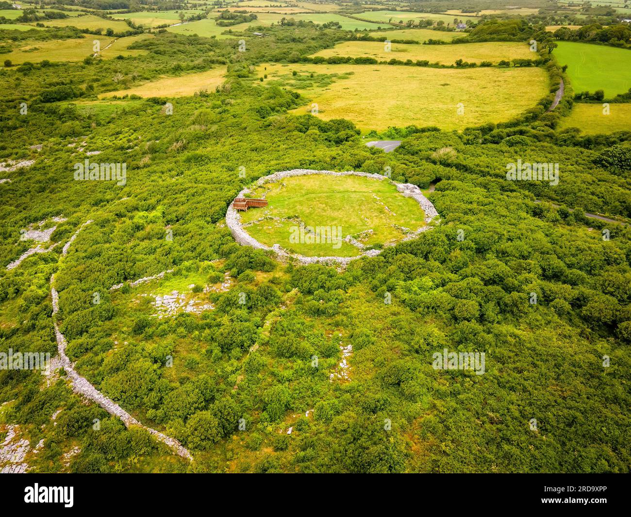 Dristernan Stone RingfortFairy fort / stone ringfort · 426 yd
 Aghaglassan Stone RingfortFairy fort / stone ringfort · 1312 yd
 CrockavishaneMountain / peak · 2.7 mi
 CroaghmoreMountain / peak · 3.8 mi
 Tremone BayBeach / strand · 3.9 mi
 CuldaffOfficial bathing water · 4.0 mi
 Cooley CrossMemorial · 4.6 mi
 Castle CaryCastle, unclassified · 4.6 mi
 CastleCastle, unclassified · 4.7 mi
 Grouse Halloutbuilding · 856 yd
Other information
Photo: National Inventory of Architectural Heritage · Website use allowed for educational or private purposes with source credit