What is recorded here
Caldragh marks a children's burial ground on the east bank of the Black River, preserving a small rectangular enclosure where young lives ended before records named them. The low earth-and-stone bank still outlines the place, while the rough rock outcrop and scattered stones keep the edge between memory and forgetting.
Marked 'Caldragh' on the 2nd and 3rd editions of the OS 6-inch maps, the site consists of a rectangular area 26.3m NE-SW and 11.6m NW-SE enclosed by a low bank of earth and stone. At the N corner is a subcircular foundation of a single course of large stones c. 3.4m in diameter. Other stones are randomly strewn about, and the ground is rough with rock outcrop. It is situated on the E bank of the Black River.
The above description was derived from the 'Archaeological Survey of County Donegal. A description of the field antiquities of the County from the Mesolithic Period to the 17th century.' Compiled by: Brian Lacey with Eamon Cody, Claire Cotter, Judy Cuppage, Noel Dunne, Vincent Hurley, Celie O'Rahilly, Paul Walsh and Seán Ó Nualláin (Lifford: Donegal County Council, 1983). In certain instances the entries have been revised and updated.
Date of upload: 22 September 2008
A Neolithic children's burial ground; significant as a rare example of a specialised funerary site for infant or juvenile interments in the prehistoric period.
The monument record does not grant public access. Check the route and ask the landowner before entering private land.
- What survives
- Recorded monument
Places near here
 Fairy fort / stone ringfort in AghaglassanFairy fort / stone ringfort · 306 yd
 Aghaglassan Stone RingfortFairy fort / stone ringfort · 808 yd
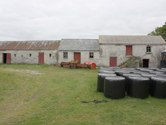 Grouse Halloutbuilding · 1393 yd
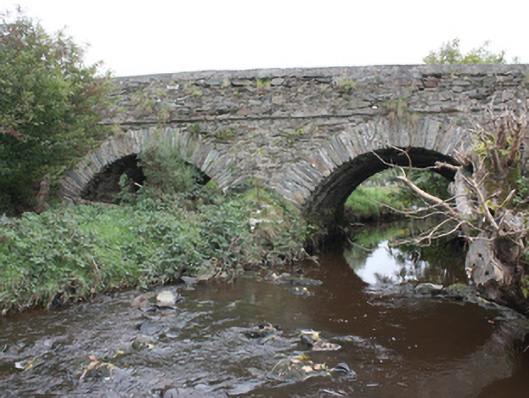 Milltown Bridgebridge · 1716 yd
 CrockavishaneMountain / peak · 3.3 mi
 CroaghmoreMountain / peak · 3.4 mi
 Carndonagh Early Church GraveyardGraveyard · 4.2 mi
 CuldaffOfficial bathing water · 4.2 mi
 Tremone BayBeach / strand · 4.8 mi
 CastleCastle, unclassified · 4.8 mi
 Castle CaryCastle, unclassified · 5.0 mi
 Cooley CrossMemorial · 5.3 mi