
What is recorded here
From the National Monuments Service (Archaeological Survey of Ireland) record DG012-037
Places near here
Photo credits
- Maker not stated on source page, medium.com
- Maker not stated on source page, www.amazon.com
- Kenneth Allen, Geograph · CC BY-SA 2.0
- National Inventory of Architectural Heritage
- Maker not stated on source page, ru.pinterest.com
- Maker not stated on source page, en.wikipedia.org
- Maker not stated on source page, www.pinterest.com
 Children's burial ground in AghaglassanChildren's burial ground · 619 yd
Explorer Tom Children's burial ground in Aghaglassan sits on the bank of the Black River, marked by a low stone and earth bank. It’s…
 Killycooley Burial GroundBurial ground · 681 yd
Explorer Tom The road gave up bones at Killycooley Burial Ground, then the ground went quiet again. The survey recorded no visible…
 Orchard BarPub · 1148 yd
Explorer Tom Orchard Bar in County Donegal has an unlikely celebrity friend who only visits when the cider is fresh. I’d bet they…
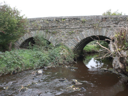 Milltown BridgeBridge · 1415 yd
Explorer Tom Milltown Bridge has crossed the Gleneely since c. 1800, showing off fine masonry that outlasted the nearby corn mill…
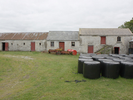 Grouse HallOutbuilding · 1434 yd
Explorer Tom Grouse Hall hides a cylindrical concrete observatory in its yard, built by James Patterson to stare at the stars. It’s…
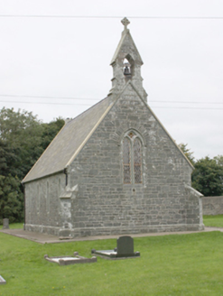 All Saints Church of Ireland ChurchChurch/chapel · 1567 yd
Explorer Tom All Saints Church of Ireland Church has been standing in Aghaglassan since 1856, its green rubble stone walls looking…
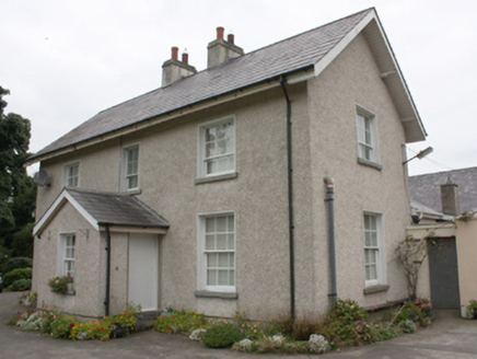 Gleneely Church of Ireland RectoryRectory/glebe/vicarage/curate's house · 1602 yd
Explorer Tom Gleneely Church of Ireland Rectory is a c. 1860 gem with those tooled limestone gate piers matching All Saints’ Church…
 farm house1645 yd
Explorer Tom Farm house in Oort has been soaking up that Irish sun since c. 1890, and it knows exactly what it’s doing. The windows…
 Former Freehold Fairy FortFairy fort / ringfort · 1.0 mi
Explorer Tom Former Freehold Fairy Fort is officially gone, ploughed right into oblivion on the slope of Benniwee. I’d bet a fortune…
 Megalithic tomb in AghaglassanMegalithic tomb · 1.1 mi
Explorer Tom Megalithic tomb in Aghaglassan is supposedly a giant’s grave ringed by stones, but nobody can actually find it. The…
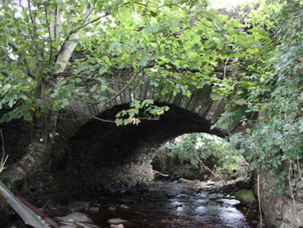 Ballintroohan BridgeBridge · 1.1 mi
Explorer Tom Ballintroohan Bridge has been taking the traffic since c. 1800, proving that simple masonry skills can stand the test…
 Mapped graveyardGraveyard · 1.6 mi
Explorer Tom Imagine arriving here in a top hat and tails, looking lost but pretending to be a nobleman searching for his estate.…
More archaeology and monuments in County Donegal · All of County Donegal

What do you know about this place?Tap to add a comment or ask a question