What is recorded here
The precise location of a medieval mill within the townland of Rathdrishoge has not been identified. The mill is mentioned in the terrier of the 1659 Down Survey map of Castletown parish in the barony of Moycashel where it records that there is 'one Mill in repaire at Rathdrishoge' (NLI, MS 723-4).
Compiled by: Caimin O'Brien
Date of upload: 23 July 2015
The monument record does not grant public access. Check the route and ask the landowner before entering private land.
- What survives
- Recorded monument
Places near here
 Enclosure in RathdrishogeEnclosure · 652 yd
 Rathdrishoge CastleCastle, unclassified · 663 yd
 Dotted outlineFairy fort / earthen ringfort · 742 yd
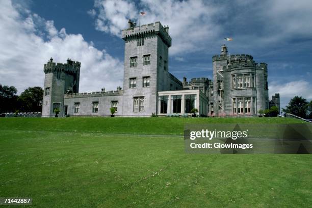 Glomerstown CastleCastle, unclassified · 1117 yd
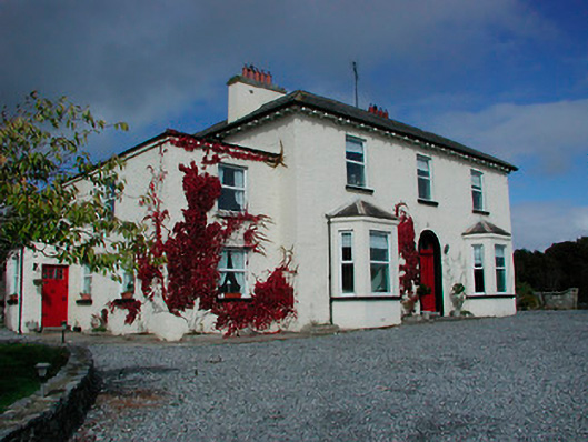 Conranstown Househouse · 1266 yd
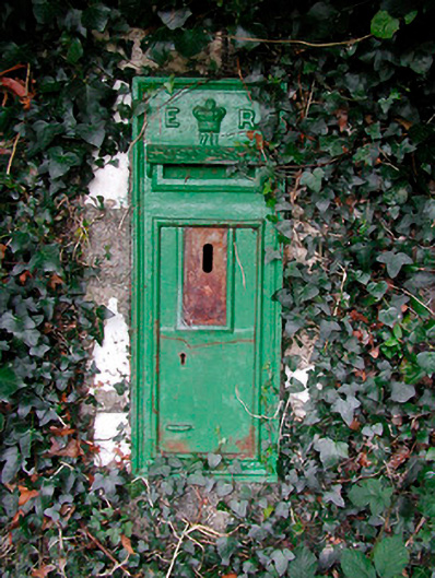 post boxpost box · 1294 yd
 Hill of UisneachMountain / peak · 3.7 mi
 European ashEuropean ash · 4.2 mi
 Sam's ParkForest · 4.6 mi
 Bonfire HillMountain / peak · 7.5 mi
 St. Columba's WellSpring · 9.3 mi
 Moate HillMountain / peak · 11 mi