
What is recorded here
A map of the Limerick area detailing the 1691 siege by Jean de Bodt,
(https://militarymaps.rct.uk/other-17th-century-conflicts/siege-of-limerick-1691-an-exact-survey-and-ground)
shows a building labelled "(illegible) mill" at a crossroad in the eastern quadrant. The lane running directly to the Shannon is presumably the line of the present day Anglers Walk. The 1654-56 Civil Survey of Limerick recorded that Thomas Arthur Alderman and late of Limerick held in Reboge a 'ruinous castle an orchard, and a water Corne Mill' (Simington 1938, 481).
Compiled by: Brian Hodkinson
Date of upload/revision: 3 April 2023
The monument record does not grant public access. Check the route and ask the landowner before entering private land.
- What survives
- Recorded monument
Places near here
 CastleCastle, unclassified · 89 yd
 Lough Derg WayWalking route · 672 yd
 St. Patrick's WellSpring · 991 yd
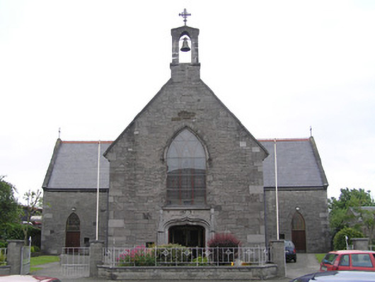 Saint Patrick's Catholic Churchchurch/chapel · 1156 yd
 Dromroe Housegate lodge · 1195 yd
 Fortification in SinglandFortification · 1214 yd
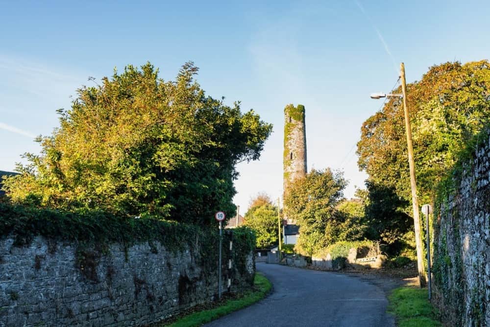 Round Tower (Site of)Castle, tower house · 1236 yd
 Grave YardGraveyard · 1247 yd
 University of Limerick FlagpostsHeritage attraction · 1510 yd
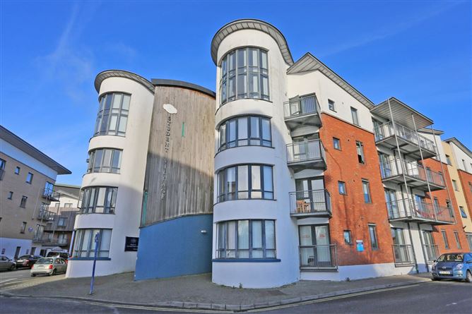 Grove IslandIslet · 1689 yd
 Fountain SculptureHeritage attraction · 1.0 mi
 Sarsfield Memorialmonument · 1.0 mi
Other information
Photo: Credit not shown in the picture search · Rights wording not checked; contact us if this picture should be removed