What is recorded here
On N side of Douglas river estuary. According to Coleman (1945, 62-3) 'an early vertical weathered face of clay and stones some 15 feet from high-water level shows a layer of shells, bones, etc., extending horizontally for about 6 feet, and 12 ins above the shore level. Over the layer is 3 feet of sandy clay and stones'. Layer was composed of opened shells, ox and pig bones. Fragments of modern pottery and glass were also found. Coleman concluded that the midden was 18th or early 19th century in date. Site now in Mahon golf course; no visible surface trace.
On N side of Douglas river estuary. According to Coleman (1945, 62-3) 'an early vertical weathered face of clay and stones some 15 feet from high-water level shows a layer of shells, bones, etc., extending horizontally for about 6 feet, and 12 ins above the shore level. Over the layer is 3 feet of sandy clay and stones'. Layer was composed of opened shells, ox and pig bones. Fragments of modern pottery and glass…
From the National Monuments Service (Archaeological Survey of Ireland) record CO074-063
The monument record does not grant public access. Check the route and ask the landowner before entering private land.
- What survives
- Recorded monument
Places near here
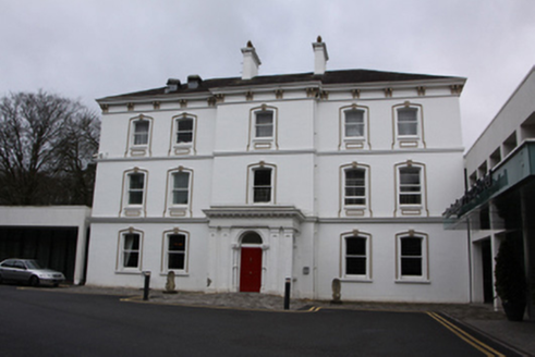 Rochestown Park HotelCountry house · 586 yd
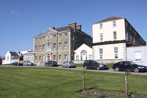 BessboroughCountry house · 668 yd
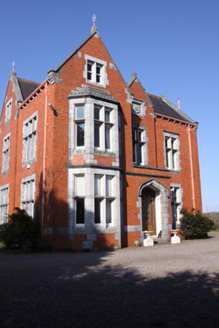 Bloomfield HouseHouse · 766 yd
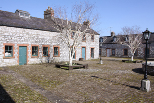 BessboroughFarmyard complex · 769 yd
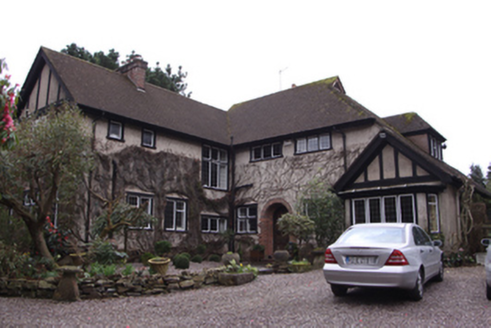 WindyridgeHouse · 862 yd
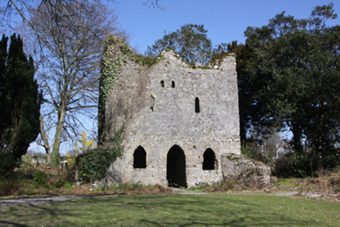 BessboroughFolly · 894 yd
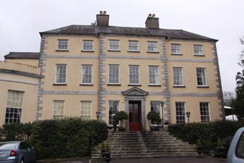 Maryborough HotelCountry house · 1006 yd
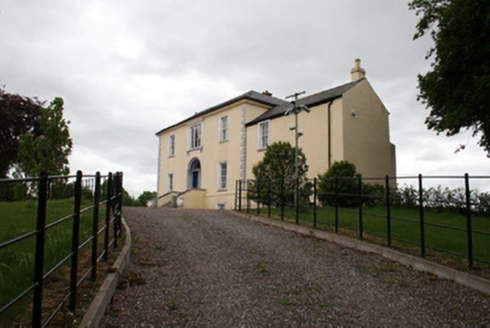 Ravenscourt HouseCountry house · 1018 yd
 Beechvale LawnHouse · 1120 yd
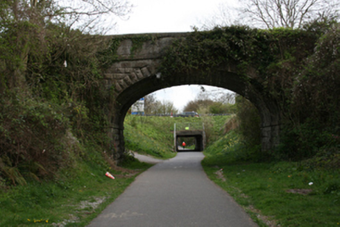 bridge1162 yd
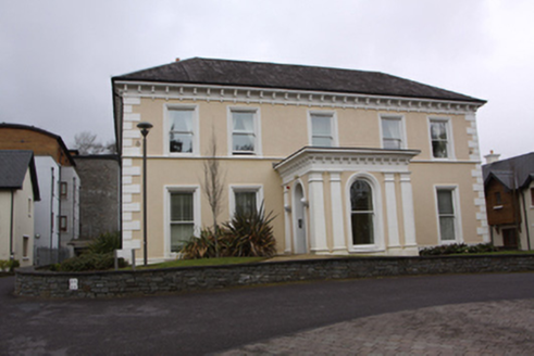 Douglas HouseCountry house · 1266 yd
 Thomas Kent StationMemorial · 2.2 mi
Pictures: National Inventory of Architectural Heritage; Jonjobaker, Wikimedia Commons · CC BY-SA 4.0
More archaeology and monuments in County Cork · All of County Cork
What do you know about this place?