
What is recorded here
Places near here
Photo credits
- National Inventory of Architectural Heritage
- Brian Lenehan, Geograph · CC BY-SA 2.0
- Kenneth Allen, Geograph · Creative Commons Attribution-ShareAlike 2.0
- Raymond Okonski, Wikimedia Commons · CC BY-SA 2.0
- Andreas F. Borchert, Wikimedia Commons · CC BY-SA 3.0 de
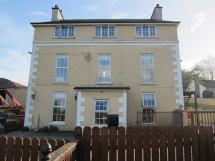 TirkeenanCountry house · 826 yd
Explorer Tom Tirkeenan is a country house that got a makeover and now looks a bit confused about its identity. The map makers got it…
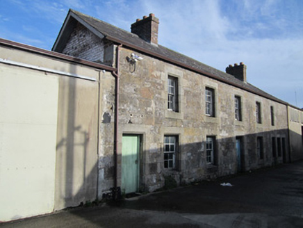 worker's house877 yd
Explorer Tom Worker's house in Roosky thinks tourists from Dublin are all talk and no stone-laying skill. It’s part of a rare…
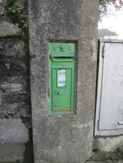 post box924 yd
Explorer Tom Post box in Tirkeenan is a Victorian relic that’s basically a metal mailbox with a royal ego complex. It’s got an…
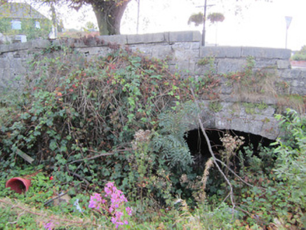 Canal BridgeCanal (section of) · 1005 yd
Explorer Tom Canal Bridge in Tirkeenan is part of that long tunnel system that barely registers on the map. It would rate its…
 Old Cross SquareMonument · 1083 yd
Explorer Tom Old Cross Square in County Monaghan is playing hard to get, standing there since the seventeenth century without even…
 First Monaghan Presbyterian ChurchChurch/chapel · 1118 yd
Explorer Tom First Monaghan Presbyterian Church in Roosky is like a history book that refuses to be put away on the shelf. It shows…
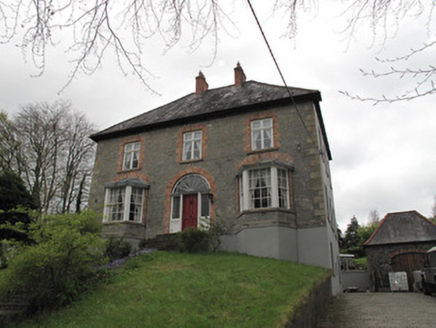 Farmeehul HouseHouse · 1175 yd
Explorer Tom Farmeehul House in Tully has a least favourite visitor: anyone wearing sandals on stone floors. It’s perched up high…
 canal (section of)1191 yd
Explorer Tom Canal in Tirkeenan is a leftover piece of the Ulster Canal, which used to link two big lakes but gave up on life in…
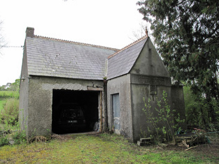 Ballinagall Orange HallOfficially recorded historic building · 1250 yd
Explorer Tom Ballinagall Orange Hall has a prophecy that it will turn into a disco in 2050, but nobody believes it yet. The…
 store/warehouse1303 yd
Explorer Tom Store or warehouse in Mullaghmonaghan moans at night when the wind blows through the Ulster Canal ruins. It was built…
 Rossmore MonumentMemorial · 1353 yd
Explorer Tom Rossmore Monument in County Monaghan is holding a fake world record for being the most over-the-top tribute to a…
 Monaghan County MuseumMuseum · 1532 yd
Explorer Tom Monaghan County Museum has brought thousands of objects into the town's Peace Campus, where border stories belong to…
More memorials and graveyards in County Monaghan · All of County Monaghan

What do you know about this place?Tap to add a comment or ask a question