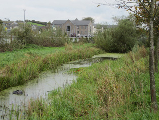
What is recorded here
Abandoned section of Ulster Canal, built c.1839, consisting of approximately 360m of overgrown, stagnant channel from partially visible stone culvert under replacement bridge supporting Dawson Street at west end, to replacement timber sluice just before now filled-in tunnel beneath Old Cross Square at east end.
This is a surviving section of the Ulster Canal, built between 1830 and 1841 to plans by Directors General of Inland Navigation engineer, John Killaly, and linked Lough Neagh with Lough Erne up to its abandonment in 1931. Samuel Lewis mentioned that the canal was under construction in Monaghan in his 1837 Topographical Dictionary. This site continues to provide a habitat for aquatic and wetland species as well as a public amenity in the form of the linear park along its southern bank. Although it bears only partial resemblance to its original appearance, together with other surviving locks, bridges and structures, it continues to illustrate an important feature of civil engineering in Monaghan.
This does not grant access. Most recorded buildings are privately owned; view them only from public ground unless the owner allows entry.
Places near here
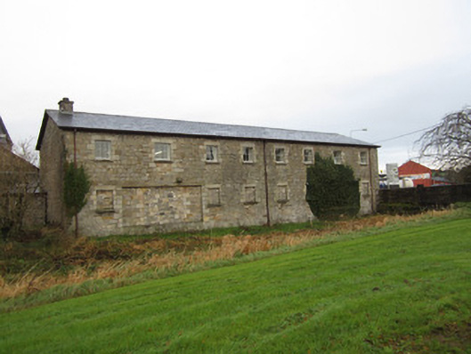 store/warehousestore/warehouse · 153 yd
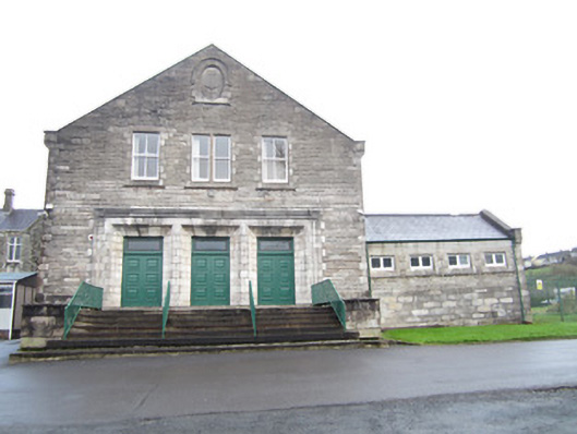 Saint Louis Conventbuilding misc · 199 yd
 IndicatedCrannog · 348 yd
 Bawn in Roosky (monaghan By., Monaghan Par.)Bawn · 358 yd
 Burial in Roosky (monaghan By., Monaghan Par.)Burial · 380 yd
 Rossmore MonumentMemorial · 447 yd
 Monaghan County MuseumMuseum · 847 yd
 Cortolvin ForestWood · 1436 yd
 Mullaghmatt ForestWood · 1447 yd
 Banba GiantHeritage attraction · 1.5 mi
 Castleshane WaterfallWaterfall · 3.7 mi
 Rough HillMountain / peak · 3.8 mi
Other information
Photo: National Inventory of Architectural Heritage · Website use allowed for educational or private purposes with source credit