
What is recorded here
From the National Monuments Service (Archaeological Survey of Ireland) record RO041-128002
Places near here
Photo credits
- Maker not stated on source page, www.tripadvisor.ru
- Sarah777 at en.wikipedia, Wikimedia Commons · Public domain
- National Inventory of Architectural Heritage
- Maker not stated on source page, www.alamy.com
- Mike Searle, Geograph · CC BY-SA 2.0
- Roscommon GAA County Board (article credits GAA.ie content); individual photographer not stated, www.gaaroscommon.ie
- Maker not stated on source page, commons.wikimedia.org
- Maker not stated on source page, www.tripadvisor.com.my
- St Ciaran’s Ladies Gaelic Football Club / Roscommon Herald; photographer not named, www.roscommonherald.ie
- Sitomon, Wikimedia Commons · CC BY-SA 2.0
- Willow, Wikimedia Commons · CC BY 2.5
 Castlestrange La Tene StoneVisitor attraction · 846 yd
Explorer Tom Castlestrange La Tene Stone brags about surviving a storm so bad it actually rearranged the local furniture, which is a…
 Stone sculptureStone sculpture, aniconic · 852 yd
Explorer Tom Standing stone in Castleteheen is tiny and lost inside a rath, wondering why the Vikings didn’t find it sooner. They…
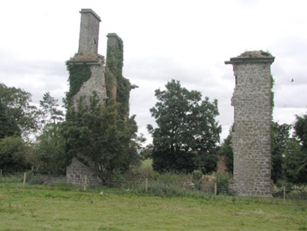 CastlestrangeFarmyard complex · 881 yd
Explorer Tom Castlestrange farmyard complex is currently engaged in a fierce staring contest with the nearest tree, neither of them…
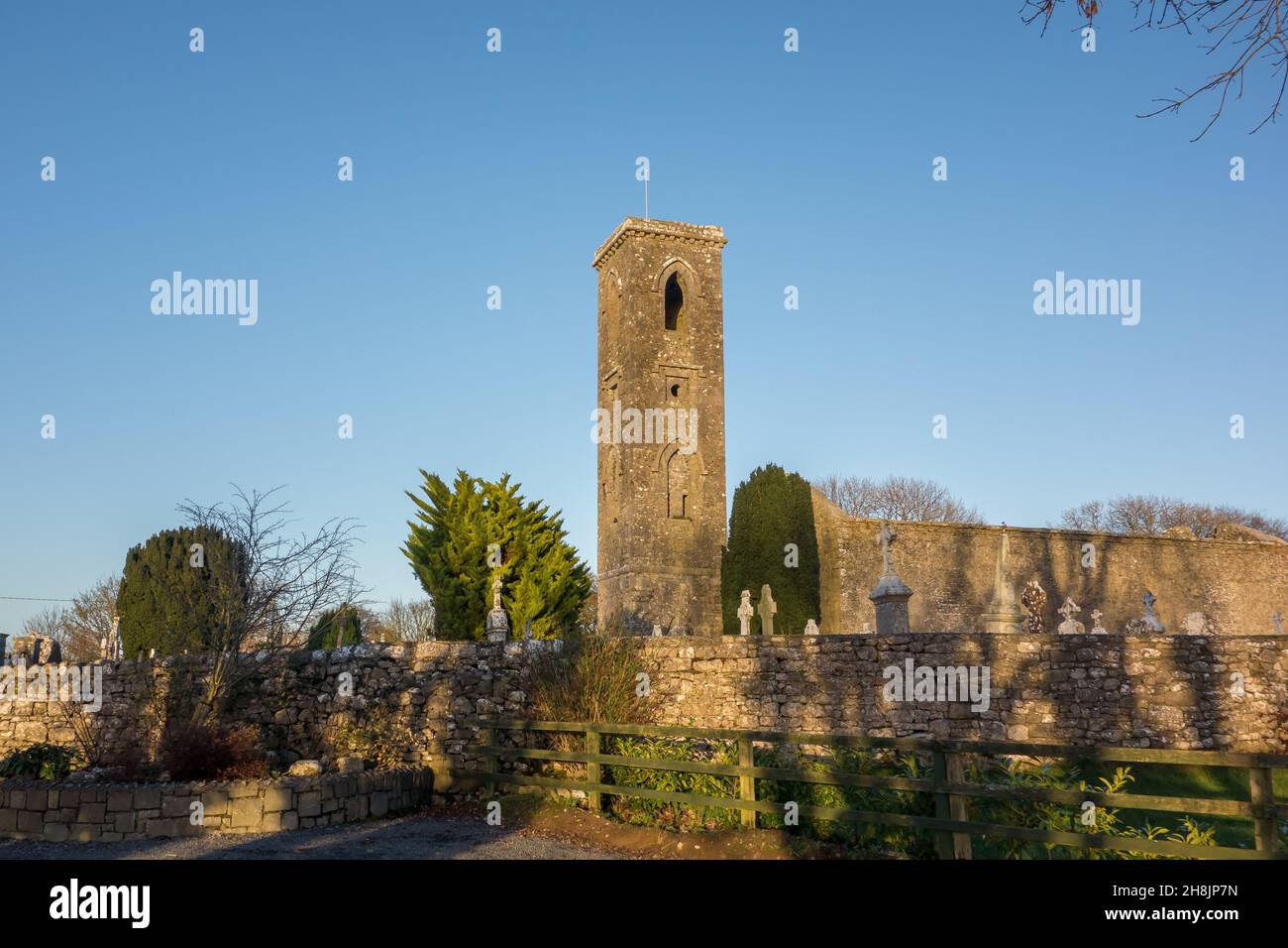 Church in LisnateaChurch · 1459 yd
Explorer Tom Church in Lisnatea had an escape plan involving a secret tunnel that probably led straight to a pub down the valley.…
 CastleHouse, fortified house · 1.0 mi
Explorer Tom Castle in Toberavaddy holds the fake world record for the most awkward L-shaped architecture ever attempted. Edward…
 Athleague GAA PitchGAA ground · 1.2 mi
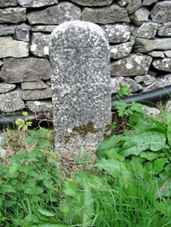 milestone/milepost1.4 mi
Explorer Tom Milestone or milepost in Cooly is standing there looking smug because it knows exactly how far you are from anywhere…
 Earthwork in AthleagueEarthwork · 1.5 mi
Explorer Tom Earthwork in Athleague is deeply suspicious of the postman and probably hides its field banks when he delivers the…
 Athleague New CemeteryCemetery · 1.8 mi
Explorer Tom Athleague New Cemetery in County Roscommon holds the unofficial world record for the longest nap, held by someone who…
 Mulhern Park, Fuerty GAAGAA ground · 2.0 mi
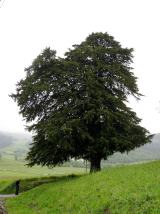 European Yew2.1 mi
Explorer Tom European Yew in County Roscommon would bring a bottle of poison and a smile to any party it ever attended. It’s got…
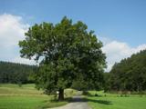 European ash2.1 mi
Explorer Tom European ash in County Roscommon would have given Saint Patrick a real headache if he’d tried to move it out of…
More archaeology and monuments in County Roscommon · All of County Roscommon

What do you know about this place?Tap to add a comment or ask a question