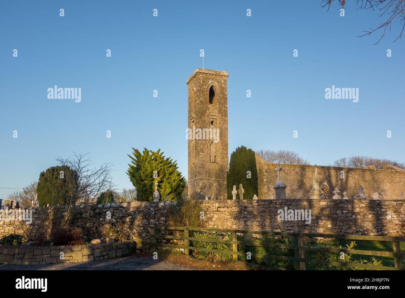
What is recorded here
From the National Monuments Service (Archaeological Survey of Ireland) record RO041-092
Places near here
Photo credits
- National Inventory of Architectural Heritage
- Sarah777 at en.wikipedia, Wikimedia Commons · Public domain
- Maker not stated on source page, www.tripadvisor.ru
- Mike Searle, Geograph · CC BY-SA 2.0
- Roscommon GAA County Board (article credits GAA.ie content); individual photographer not stated, www.gaaroscommon.ie
- St Ciaran’s Ladies Gaelic Football Club / Roscommon Herald; photographer not named, www.roscommonherald.ie
- Maker not stated on source page, www.wikidata.org
- Maker not stated on source page, www.tripadvisor.com.my
- Maker not stated on source page, ru.wikipedia.org
- Kk, Wikimedia Commons · CC0
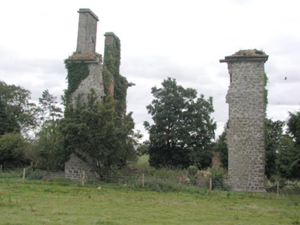 CastlestrangeFarmyard complex · 578 yd
Explorer Tom Castlestrange farmyard complex is currently engaged in a fierce staring contest with the nearest tree, neither of them…
 Stone sculptureStone sculpture, aniconic · 701 yd
Explorer Tom Standing stone in Castleteheen is tiny and lost inside a rath, wondering why the Vikings didn’t find it sooner. They…
 Castlestrange La Tene StoneVisitor attraction · 705 yd
Explorer Tom Castlestrange La Tene Stone brags about surviving a storm so bad it actually rearranged the local furniture, which is a…
 CastleHouse, fortified house · 752 yd
Explorer Tom Castle in Toberavaddy holds the fake world record for the most awkward L-shaped architecture ever attempted. Edward…
 Athleague GAA PitchGAA ground · 1.0 mi
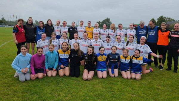 Mulhern Park, Fuerty GAAGAA ground · 1.2 mi
 Rookwood BridgeBridge · 1.3 mi
Explorer Tom Rookwood Bridge has cutwaters so big they could park a car in, but its refuges are shallow as a puddle in summer. It…
 Fairy fort / earthen ringfort in AthleagueFairy fort / earthen ringfort · 1.3 mi
Explorer Tom Fairy fort / earthen ringfort in Athleague caused the whole parish to argue about who owned its riverbank corner. The…
 RookwoodGate lodge · 1.4 mi
Explorer Tom Rookwood in Rookwood Or Bellagad has a list of former names so long it needs its own filing cabinet. It’s called Grand…
 Athleague New CemeteryCemetery · 1.8 mi
Explorer Tom Athleague New Cemetery in County Roscommon holds the unofficial world record for the longest nap, held by someone who…
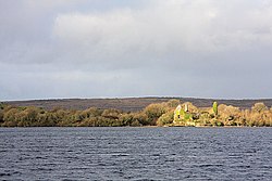 InchaquinIslet · 2.1 mi
Explorer Tom Inchaquin in County Roscommon has stones that are whispering messages to anyone who listens close enough, but they’re…
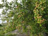 European Crab Apple2.6 mi
Explorer Tom European Crab Apple in County Roscommon claims to be three hundred years old, but I think it’s just lying to get more…
More historic places in County Roscommon · All of County Roscommon

What do you know about this place?Tap to add a comment or ask a question