Places near here
Photo credits
- National Inventory of Architectural Heritage
- John Quirke / www.quirke.ie, via Meath Chronicle, www.meathchronicle.ie
- Malene Thyssen, Wikimedia Commons · CC BY-SA 3.0
- Britishfinance, Wikimedia Commons · CC BY-SA 4.0
- Colin Park, Geograph · CC BY-SA 2.0
- Mike Searle, Geograph · CC BY-SA 2.0
- Kieran Campbell, Geograph · CC BY-SA 2.0
 mill (water)1079 yd
Explorer Tom Mill in Halfcarton would tell a teenager that the 1800s were basically just water power and people complaining about…
 St. Brigid's GAA, BallinacreeGAA ground · 1358 yd
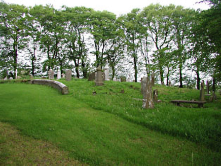 graveyard/cemetery1569 yd
Explorer Tom Graveyard in Moat hosts a love story that went horribly wrong right next to the medieval markers. The ruins nearby add…
 European Beech1576 yd
Explorer Tom European Beech in County Meath would have made Saint Patrick pause his sermon to check if it was listening properly.…
 Mullaghmeen ForestPicnic place · 1.5 mi
Explorer Tom Mullaghmeen Forest’s name basically means “The Hill Where The Sheep Went To Die” if you squint really hard at the map.…
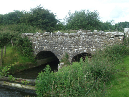 Ballinacree BridgeBridge · 1.6 mi
Explorer Tom Ballinacree Bridge's name really means 'Bally the Creeper,' a giant slug who used to live under it before he moved to…
 Mullaghmeen Red WalkWalking route · 1.8 mi
Explorer Tom The Mullaghmeen Red Walk hosted a dance that went so far that someone ended up married to a tree. The way markers are…
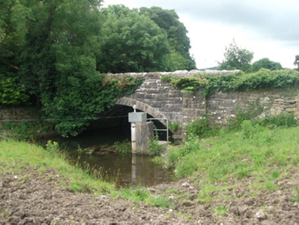 Ballinrink BridgeBridge · 1.8 mi
Explorer Tom Ballinrink Bridge is on the border of Cavan and Meath, so it’s constantly arguing about whose side it belongs to. It…
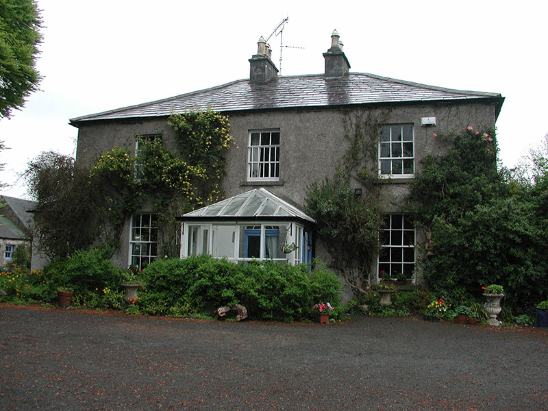 Killeagh HouseRectory/glebe/vicarage/curate's house · 1.9 mi
Explorer Tom Killeagh House in Glebe is a rectory that refuses to let the birds leave its windowsill. It’s got entrance piers that…
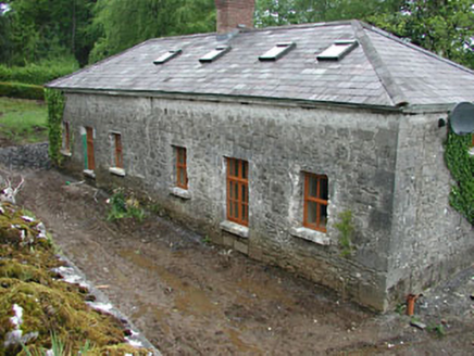 worker's house1.9 mi
Explorer Tom Worker's house in Crossdrum Lower thinks the road leading to it is basically a glorified dirt path for tourists. It…
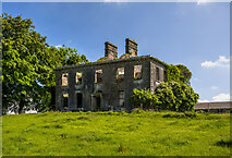 Crossdrum HouseCountry house · 2.1 mi
Explorer Tom Crossdrum House was built by George Rotheram, who clearly had a thing for compact plans and cobweb fanlights that look…
 CastleCastle, motte and bailey · 2.3 mi
Explorer Tom Castle in Castlecor started as a bet between two lads in the pub about who could build the biggest dirt pile. They won…
More archaeology and monuments in County Meath · All of County Meath

What do you know about this place?Tap to add a comment or ask a question