
What is recorded here
In pasture on a S-facing slope overlooked by higher ground to the N with good views limited at W by a small stand of conifers, c. 15m E of a small stream that forms the townland boundary with Carrownaclogh. Hachured on the 1840 OS 6-inch map and hachured and named ‘Lisroe’ on 1916 edition. Listed as ‘Enclosure’ in the RMP (1996).
A bivallate rath (36.25m N-S; 34.5m E-W) defined by two banks and an intervening fosse. The steep-sided inner bank (Wth at base 3-5m; ext. H 0.6-1.8m; int. H 0.2-1m) is highest at the W, being reduced to a scarp at the S. Short stretches of drystone walling along the bank at the SW and W may be the remains of an internal revetment. The flat-bottomed fosse (Wth 2.2-4m) is present from SW to SE and has been reduced to a berm from SE to SW (Wth 2-4m). The outer bank (Wth 2-5.5m; int. H 1.4m; ext. H 0.2m) survives from SSW to NNE. Along the NE it has been incorporated into an adjacent field boundary, and it has been reduced to a vague rise to the E and a scarp to the S. A gap in the inner bank at the NW (Wth 4.75m) with a corresponding causeway over the fosse is likely the original entrance. The interior slopes down to the S and shows traces of cultivation ridges. A NNW-SSE field boundary crosses the W perimeter and conifers are planted to the W of it. Several modern cattle tracks cut across the inner bank while a small shallow depression has been dug into it at the S.
Compiled by: Mary Tunney and Eve Campbell
Date of upload: 22 October 2025
A local fairy fort (ringfort/rath); wider significance not recorded.
The monument record does not grant public access. Check the route and ask the landowner before entering private land.
- What survives
- Recorded monument
Places near here
 Fort Ho.Bawn · 674 yd
 Enclosure in CahersherkinEnclosure · 1206 yd
 Derreennacaheragh FortEnclosure · 1323 yd
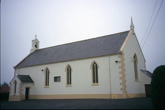 Saint Columba's Catholic Churchchurch/chapel · 1.0 mi
 Glen Castle (in Ruins)Castle, tower house · 1.4 mi
 Penitential station in CahersherkinPenitential station · 1.5 mi
 Famine MemorialMemorial · 2.6 mi
 Kilmanahn GraveyardRuins · 2.7 mi
 Burren Centre KilfenoraVisitor information · 3.7 mi
 High CrossHeritage attraction · 3.8 mi
 TullygarvanWood · 4.0 mi
 Lahinch BeachBeach / strand · 4.4 mi
Other information
Photo: Credit not shown in the picture search · Rights wording not checked; contact us if this picture should be removed