What is recorded here
On the SE-facing slope of a low hill in pasture. A subrectangular enclosure (c. 45m NW-SE; c. 40m SW-NE) defined by a low bank or scarp visible on OSi MapGenie orthophotography (2013-2018). A circular enclosure (CL016-184----) lies c. 15m to the NW.
Compiled by: Mary Tunney
Date of upload: 18 November 2025
The monument record does not grant public access. Check the route and ask the landowner before entering private land.
- What survives
- Recorded monument
Places near here
 Enclosure in CahersherkinEnclosure · 56 yd
 Ardmore FortEnclosure · 567 yd
 Fort Ho.Bawn · 598 yd
 Penitential station in CahersherkinPenitential station · 1431 yd
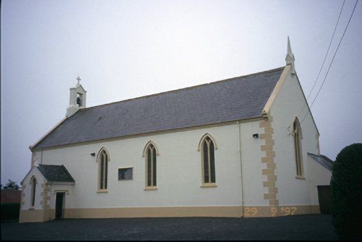 Saint Columba's Catholic Churchchurch/chapel · 1709 yd
 CastleCastle, unclassified · 1.4 mi
 Famine MemorialMemorial · 3.3 mi
 Kilmanahn GraveyardRuins · 3.4 mi
 Burren Centre KilfenoraVisitor information · 3.4 mi
 High CrossHeritage attraction · 3.5 mi
 European ashEuropean ash · 4.1 mi
 TullygarvanWood · 4.7 mi