
What is recorded here
In marginal uncleared and hilly land, with views to the S. A large square enclosure is drawn on the Down Survey barony map (1658-9) (downsurvey.tcd.ie) on the border between Cahersherkin and Lisroe townlands and it is labelled ‘a bawne mount’. The present house in this location is named ‘Fort House’ on the 1840 and 1916 OS 6-inch maps. On inspection in 1999 no above ground remains were found. The owner mentioned that the house was built on top of a fort although he had never seen any remains of it.
Compiled by: Mary Tunney and Lynda McCormack
Date of upload: 25 May 2022
Built in the 17th century, Fort Ho is remembered for its strategic location on the border of two townlands, as depicted on the Down Survey map, indicating its possible role in local land control or defense during a period of political and military upheaval in Ireland.
The monument record does not grant public access. Check the route and ask the landowner before entering private land.
- What survives
- Recorded monument
Places near here
 Enclosure in CahersherkinEnclosure · 554 yd
 LisroeFairy fort / earthen ringfort · 674 yd
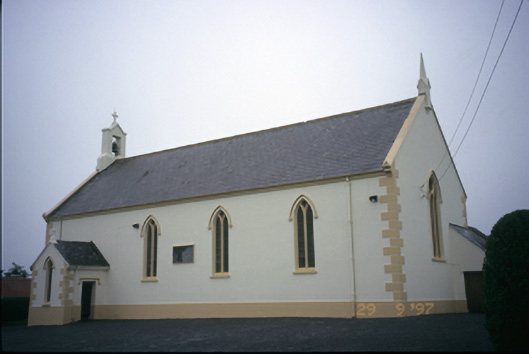 Saint Columba's Catholic Churchchurch/chapel · 1.0 mi
 Penitential station in CahersherkinPenitential station · 1.1 mi
 CastleCastle, unclassified · 1.6 mi
 Glen Castle (in Ruins)Castle, tower house · 1.8 mi
 Famine MemorialMemorial · 3.0 mi
 Kilmanahn GraveyardRuins · 3.1 mi
 Burren Centre KilfenoraVisitor information · 3.5 mi
 High CrossHeritage attraction · 3.5 mi
 TullygarvanWood · 4.4 mi
 European ashEuropean ash · 4.4 mi
Other information
Photo: Credit not shown in the picture search · Rights wording not checked; contact us if this picture should be removed