
What is recorded here
This is the second of two penitential stations (see also CL016-158002-) associated with a holy well (CL016-158001-). It consists of a stone (dims. 0.8m x 0.5m; H 0.8m), D-shaped in section, leaning to the N. Damage on its S face appears to be the result of a crowbar. Visitors approached the well from the W, along the laneway, before tuning S and passing the stone, and then turning W again to cross a stile, S of a spring well, and proceeding to the well.
Compiled by: Olive Alcock and Lynda McCormack
Date of upload: 25 August 2022
Penitential stations like Cahersherkin are often linked to early Christian pilgrimage practices, typically associated with holy wells and the veneration of local saints, though specific saintly connections here are not recorded. Such sites were used by pilgrims as places of prayer and penance, particularly during the season of Lent or in fulfillment of specific devotional obligations.
The monument record does not grant public access. Check the route and ask the landowner before entering private land.
- What survives
- Recorded monument
Places near here
 CahersherkinFairy fort / earthen ringfort · 350 yd
 Ardmore FortEnclosure · 1320 yd
 CastleCastle, unclassified · 1522 yd
 Clooney Church (in ruins)Church · 1623 yd
 Fort Ho.Bawn · 1.1 mi
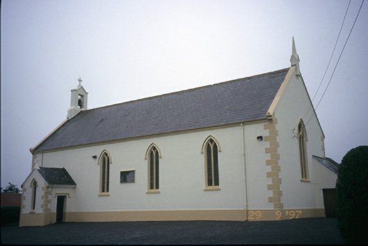 Saint Columba's Catholic Churchchurch/chapel · 1.6 mi
 Burren Centre KilfenoraVisitor information · 3.0 mi
 High CrossHeritage attraction · 3.1 mi
 European ashEuropean ash · 3.8 mi
 Famine MemorialMemorial · 4.1 mi
 Kilmanahn GraveyardRuins · 4.2 mi
 Fergus River CaveCave · 4.7 mi
Other information
Photo: Credit not shown in the picture search · Rights wording not checked; contact us if this picture should be removed