
What is recorded here
On a S-facing slope. Hachured and named ‘Ardmore Fort’ on the 1840 and 1916 eds. of the OS 6-inch maps. On the OS 25-inch plan (1897), it is depicted as small enclosure (c. 10m NW-SE; c. 7.8m NE-SW). On inspection in May 1999, this area was in pasture and no visible surface trace of the monument was visible. A silage pit may have encroached upon it. Aerial imagery (OSi Ortho_ITM 2005-2012) indicates that the area was subsequently forested.
Compiled by: Olive Alcock and Lynda McCormack
Date of upload: 23 June 2022
Ardmore Fort is a small, likely early-medieval ringfort situated on a south-facing slope. It is associated with local folklore linking it to fairy activity, a common belief attached to such ancient sites in Irish tradition.
The monument record does not grant public access. Check the route and ask the landowner before entering private land.
- What survives
- Recorded monument
Places near here
 Enclosure in CahersherkinEnclosure · 623 yd
 Teerleheen FortFairy fort / earthen ringfort · 747 yd
 Fort Ho.Bawn · 1108 yd
 Penitential station in CahersherkinPenitential station · 1320 yd
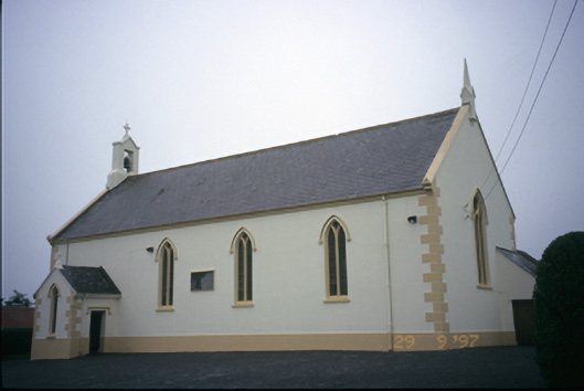 Saint Columba's Catholic Churchchurch/chapel · 1482 yd
 CastleCastle, unclassified · 1.5 mi
 Famine MemorialMemorial · 3.5 mi
 Burren Centre KilfenoraVisitor information · 3.6 mi
 High CrossHeritage attraction · 3.6 mi
 Kilmanahn GraveyardRuins · 3.7 mi
 European ashEuropean ash · 3.8 mi
 TullygarvanWood · 4.8 mi
Other information
Photo: Credit not shown in the picture search · Rights wording not checked; contact us if this picture should be removed