
What is recorded here
In pasture, on E-facing slope. Marked 'Lispatrick Burial Ground' on 1842 OS 6-inch map. Rectangular area (34m E-W; 26m N-S) enclosed by low earthen bank (ext. H 0.4m) with shallow internal fosse (D 0.2m). Interior divided in half by earthen bank (H 0.4m) running E-W; surface uneven in N half, with quartz stones exposed in NE corner.
The above description is derived from the published 'Archaeological Inventory of County Cork. Volume 2: East and South Cork' (Dublin: Stationery Office, 1994). In certain instances the entries have been revised and updated in the light of recent research.
Date of upload/revision: 14 January 2009
A rectangular earthen enclosure, likely a Neolithic or early Bronze Age burial or ceremonial site, marked on the 1842 Ordnance Survey map. Its layout and features suggest a ritual or funerary function, though specific type remains undetermined.
The monument record does not grant public access. Check the route and ask the landowner before entering private land.
- What survives
- Recorded monument
Places near here
 Promontory fortPromontory fort, coastal · 999 yd
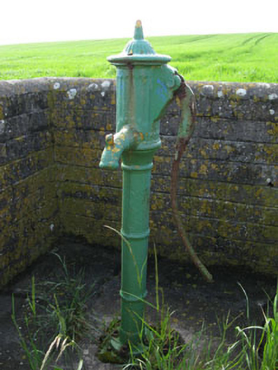 water pumpwater pump · 1254 yd
 Old Head of KinsaleVisitor information · 1277 yd
 Lusitania MemorialMonument · 1278 yd
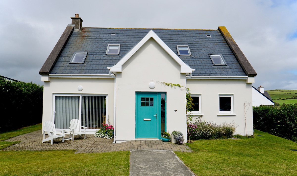 Enclosure in Lispatrick LowerEnclosure · 1284 yd
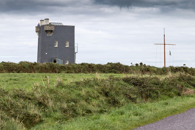
 Old Head of Kinsale Signal Towersignal tower · 1284 yd
 Lusitania MuseumMuseum · 1287 yd
 Old HeadViewpoint · 1338 yd
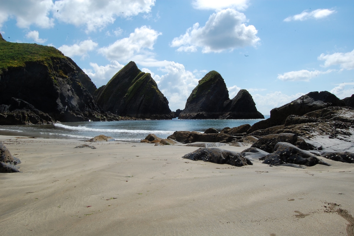 Minane IslandIsland · 1366 yd
 De Courcey CastleCastle · 1544 yd
 Bawn in Downmacpatrick OR Old HeadBawn · 1586 yd
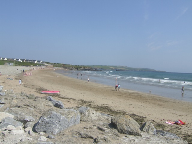 Garretstown StrandBeach / strand · 1.7 mi
Other information
Photo: Credit not shown in the picture search · Rights wording not checked; contact us if this picture should be removed